Transport Functions
Port
Road
Airport
Hub Profile
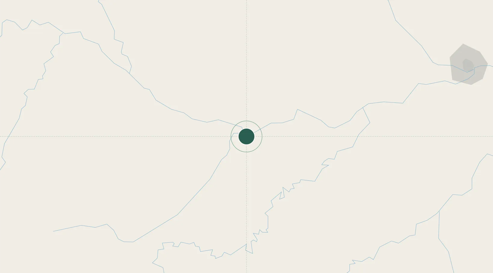
Place type
Populated place
Region
Amazonas
Population
73,820
Time zone
America/Manaus
Elevation
42 m
Location
Nearby Logistics Neighbours
Ports
- 1Manaus362 km
- 2Itacoatiara530 km
- 3Santarem953 km
- 4Iquitos1121 km
- 5Linden1243 km
Airports
- 1Tefé Airport193 km
- 2Manicoré Airport281 km
- 3Barcelos Airport346 km
- 4Eduardo Gomes International Airport361 km
- 5Ponta Pelada Airport / Manaus Air Base365 km
Trade Zones
DatabookThe Record of Consolidated Knowledge
Brazil beyond logistics?