Medium airport · Brazil
Tefé AirportSBTF
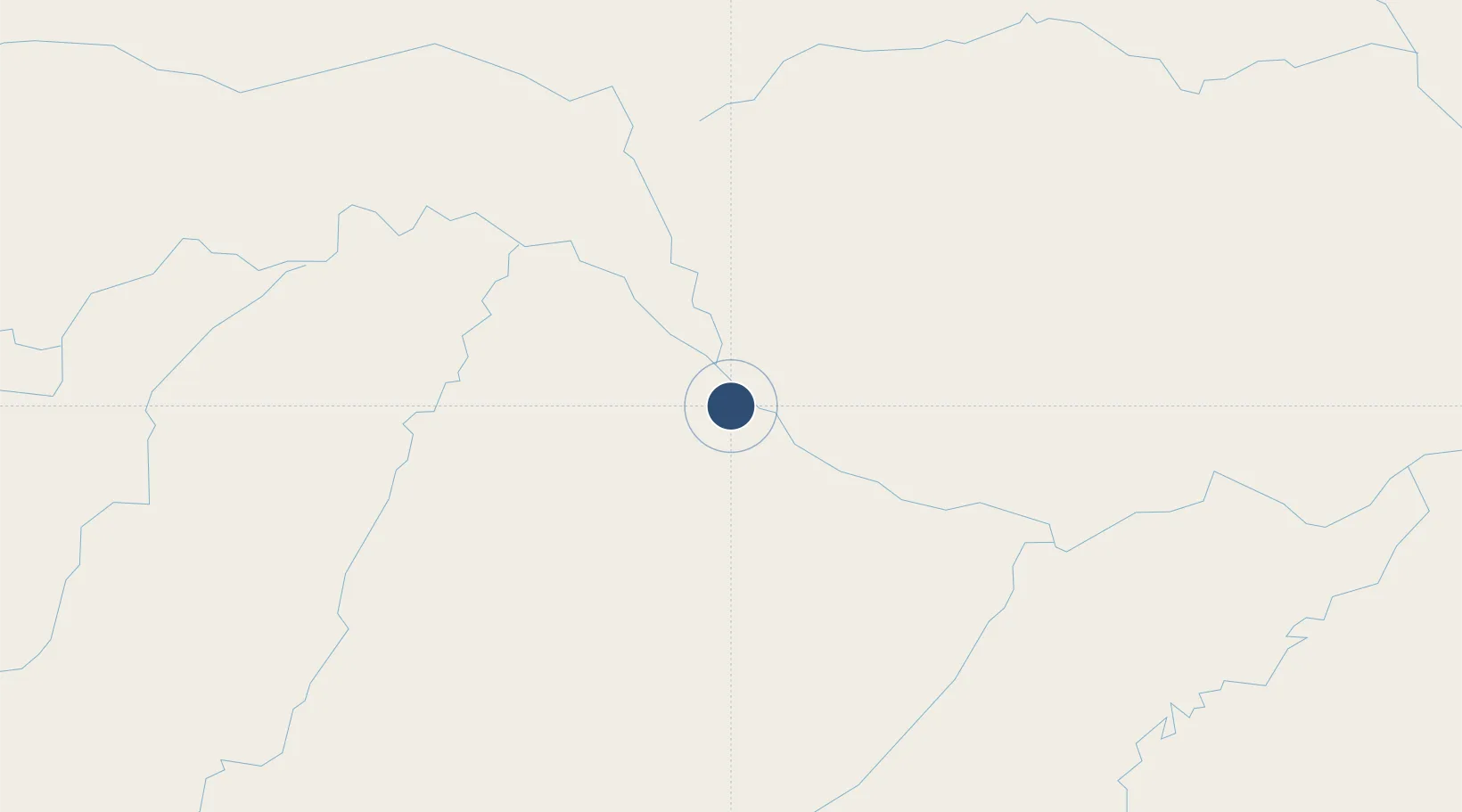
-3.3829°, -64.7241°
7,218 ft
Longest runway
1
Runways
186 ft
Elevation
Runway & Layout

Radio Frequencies
AFIS
125.9 MHz
RDO
Navaids
TFE VOR-DME Tefe 112.90 MHz
TFE NDB Tefe 300 kHz
Runways · 1
| Runway | Dimensions | Surface | True heading | Lit |
|---|---|---|---|---|
| 15/33 | 7,218 × 148ft | Asphalt | — | — |
Airport Specifications
IATA code
TFF
ICAO code
SBTF
Airport class
Medium airport
Scheduled service
Yes
Runway surface
Asphalt
Served city
Tefé
Location
Nearby Logistics Neighbours
Airports
- 1Carauari Airport292 km
- 2Barcelos Airport334 km
- 3Tapuruquara Airport335 km
- 4Lábrea Airport433 km
- 5São Gabriel da Cachoeira Airport439 km
Ports
- 1Manaus523 km
- 2Itacoatiara697 km
- 3Iquitos945 km
- 4Santarem1117 km
- 5Linden1264 km
Trade Zones
DatabookThe Record of Consolidated Knowledge
Brazil beyond logistics?