Transport Functions
Port
Road
Hub Profile
Place type
Populated place
Region
Amazonas
Population
24,451
Time zone
America/Manaus
Elevation
30 m
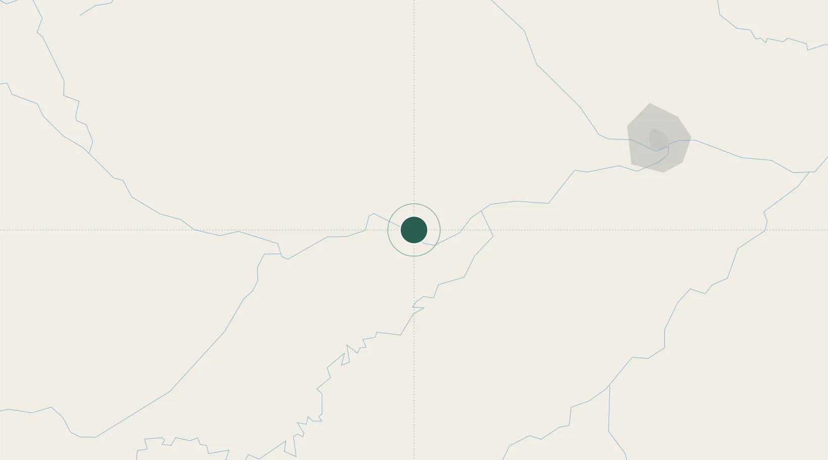
Location
Nearby Logistics Neighbours
Cities
- 1Beruri76 km
- 2Coari123 km
- 3Manacapuru170 km
- 4Novo Airão184 km
- 5Manaquiri184 km
Ports
- 1Manaus239 km
- 2Itacoatiara407 km
- 3Santarem829 km
- 4Linden1170 km
- 5Nieuw Nickerie1224 km
Airports
- 1Manicoré Airport236 km
- 2Eduardo Gomes International Airport239 km
- 3Ponta Pelada Airport / Manaus Air Base242 km
- 4Borba Airport279 km
- 5Tefé Airport301 km
Trade Zones
DatabookThe Record of Consolidated Knowledge
Brazil beyond logistics?