Transport Functions
Port
Road
Airport
Hub Profile
Place type
Populated place
Region
Amazonas
Population
62,312
Time zone
America/Manaus
Elevation
54 m
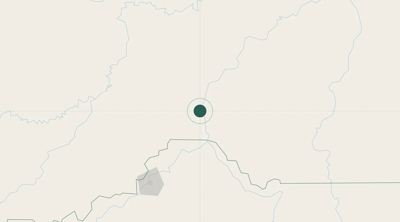
Location
Nearby Logistics Neighbours
Cities
- 1Porto Velho168 km
- 2Canutama186 km
- 3Tapauá210 km
- 4Manicoré269 km
- 5Coari380 km
Ports
- 1Manaus588 km
- 2Itacoatiara700 km
- 3Santarem1079 km
- 4Iquitos1205 km
- 5Puerto Ilo1445 km
Airports
- 1Governador Jorge Teixeira de Oliveira International Airport166 km
- 2Lábrea Airport195 km
- 3Manicoré Airport269 km
- 4Ji-Paraná Airport396 km
- 5Guajará-Mirim Airport442 km
Trade Zones
DatabookThe Record of Consolidated Knowledge
Brazil beyond logistics?