Small airport · Brazil
Lábrea AirportSWLB
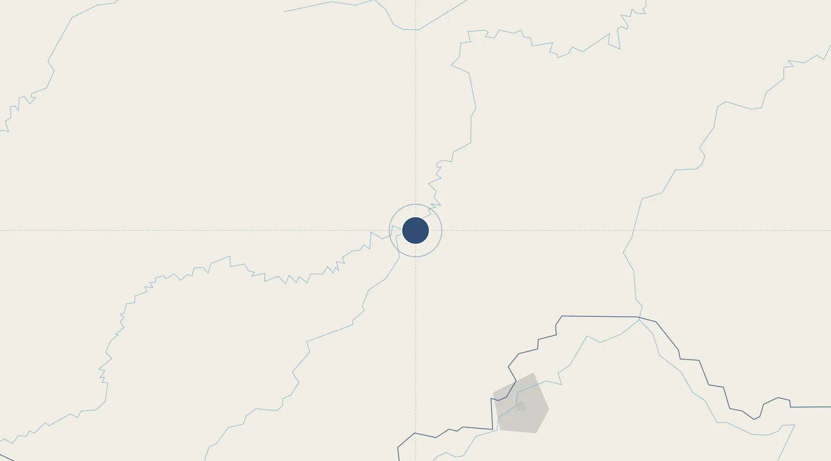
-7.2790°, -64.7695°
3,937 ft
Longest runway
1
Runways
243 ft
Elevation
Runway & Layout

Navaids
LBR NDB Labrea 295 kHz
Runways · 1
| Runway | Dimensions | Surface | True heading | Lit |
|---|---|---|---|---|
| 18/36 | 3,937 × 98ft | Asphalt | — | — |
Airport Specifications
IATA code
LBR
ICAO code
SWLB
Airport class
Small airport
Scheduled service
Yes
Runway surface
Asphalt
Served city
Lábrea
Location
Nearby Logistics Neighbours
Airports
- 1Governador Jorge Teixeira de Oliveira International Airport185 km
- 2Carauari Airport356 km
- 3Guajará-Mirim Airport394 km
- 4Guayaramerín Airport407 km
- 5Manicoré Airport419 km
Cities
- 1Canutama95 km
- 2Porto Velho186 km
- 3Humaitá195 km
- 4Tapauá255 km
- 5Carauari356 km
Ports
- 1Manaus700 km
- 2Itacoatiara837 km
- 3Iquitos1016 km
- 4Santarem1238 km
- 5Bahia De Matarani1343 km
DatabookThe Record of Consolidated Knowledge
Brazil beyond logistics?