Large airport · Brazil

Governador Jorge Teixeira de Oliveira International AirportSBPV
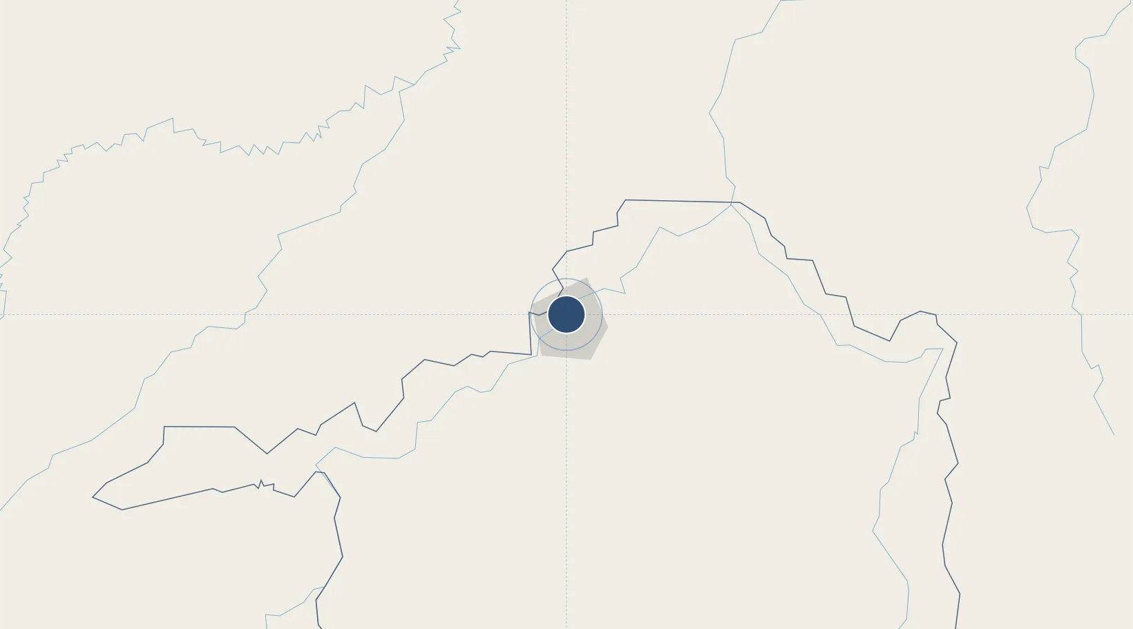
-8.7085°, -63.9023°
7,874 ft
Longest runway
1
Runways
295 ft
Elevation

Runway & Layout

Governador Jorge Teixeira de Oliveira International Airport runway & taxiway layout
Runway & taxiway layout — OpenStreetMap (ODbL) / OurAirports

Radio Frequencies

TWR
118.7 MHz
APP
119.1 MHz
OPS
122.5 MHz
OurAirports

Navaids

PVH VOR-DME Porto Velho 112.70 MHz
PVH NDB Porto Velho 385 kHz
OurAirports

Runways · 1

RunwayDimensions SurfaceTrue headingLit
1/19 7,874 × 148ft Asphalt
OurAirports

Airport Specifications

IATA code
PVH
OurAirports
ICAO code
SBPV
OurAirports
Airport class
Large airport
OurAirports
Scheduled service
Yes
OurAirports
Runway surface
Asphalt
OurAirports
Served city
Porto Velho
OurAirports

Location

Location of SBPV
Natural Earth 10m (public domain) · Rondônia · SBPV · -8.71, -63.90GoogleOSMYandex

Nearby Logistics Neighbours

Airports
  1. 1Lábrea Airport185 km
  2. 2Guajará-Mirim Airport276 km
  3. 3Guayaramerín Airport292 km
  4. 4Ji-Paraná Airport330 km
  5. 5Capitán Av. Selin Zeitun Lopez Airport350 km
Nearest neighbours — logibook spatial index (haversine) over the source coordinates
Cities
  1. 1Porto Velho2 km
  2. 2Humaitá166 km
  3. 3Canutama249 km
  4. 4Guajará-Mirim276 km
  5. 5Riberalta349 km
Nearest neighbours — logibook spatial index (haversine) over the source coordinates
Ports
  1. 1Manaus754 km
  2. 2Itacoatiara863 km
  3. 3Iquitos1169 km
  4. 4Santarem1234 km
  5. 5Puerto Ilo1279 km
Nearest neighbours — logibook spatial index (haversine) over the source coordinates
Trade Zones
  1. 1ZPE do Acre (AC)431 km
  2. 2Cobija Commercial and Industrial Free Zone600 km
  3. 3Zona Franca de Manaus - Suframa (Manaus Free Zone)757 km
  4. 4La Paz Commercial and Industrial Free Zone988 km
  5. 5Santa Cruz Commercial and Industrial Free Zone989 km
Nearest neighbours — logibook spatial index (haversine) over the source coordinates
DatabookThe Record of Consolidated Knowledge
Brazil beyond logistics?
Browse databook

All Sources

AirportsOurAirports
Public domain
Portsthe NGA World Port Index
Public domain (US gov)
LocationsUN/LOCODE
UN/LOCODE — free
Trade Zonesthe World Bank SEZ database
CC BY 4.0
Trade ZonesOpen Zone Map
CC BY
InfrastructureOpenStreetMap
ODbL 1.0
← Brazil airports