Transport Functions
Port
Road
Hub Profile
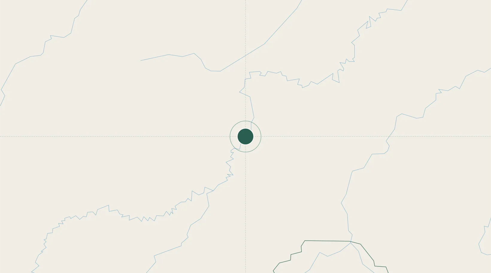
Place type
Populated place
Region
Amazonas
Population
17,885
Time zone
America/Manaus
Elevation
49 m
Location
Nearby Logistics Neighbours
Cities
- 1Tapauá166 km
- 2Humaitá186 km
- 3Porto Velho251 km
- 4Coari304 km
- 5Carauari332 km
Ports
- 1Manaus613 km
- 2Itacoatiara756 km
- 3Iquitos1027 km
- 4Santarem1164 km
- 5Bahia De Matarani1437 km
Airports
- 1Lábrea Airport95 km
- 2Governador Jorge Teixeira de Oliveira International Airport249 km
- 3Carauari Airport333 km
- 4Tefé Airport351 km
- 5Manicoré Airport352 km
Trade Zones
DatabookThe Record of Consolidated Knowledge
Brazil beyond logistics?