Transport Functions
Port
Road
Airport
Hub Profile
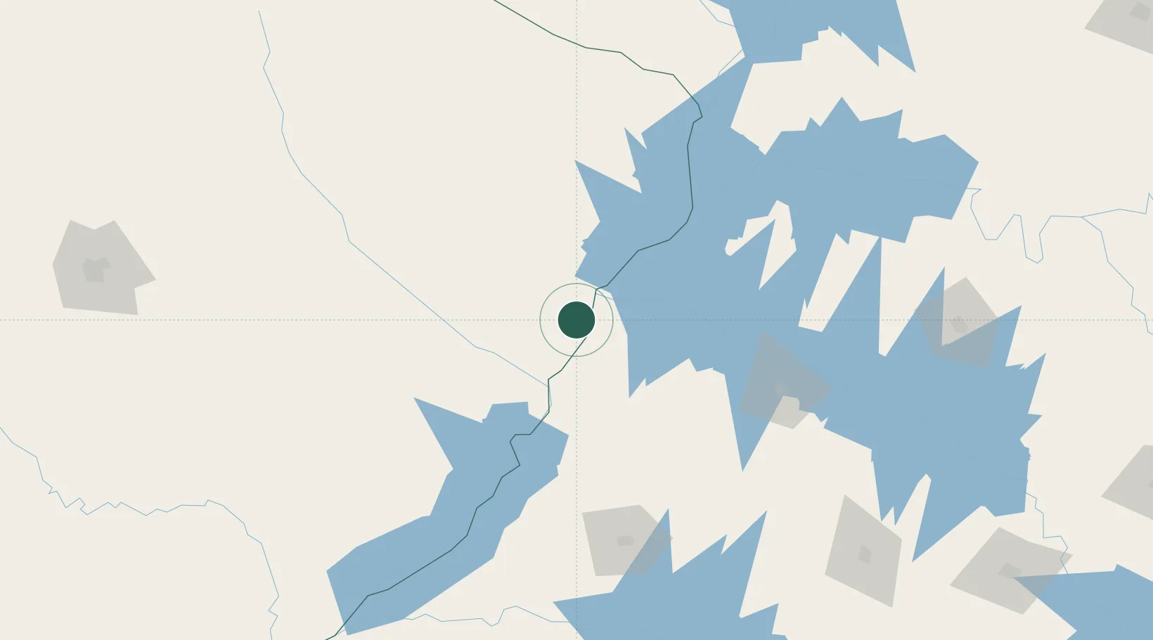
Place type
Populated place
Region
Mato Grosso do Sul
Population
78,712
Time zone
America/Campo_Grande
Elevation
328 m
Location
Nearby Logistics Neighbours
Cities
- 1Ilha Solteira56 km
- 2Panorama65 km
- 3Aparecida do Taboado101 km
- 4Presidente Epitácio117 km
- 5Araçatuba139 km
Ports
- 1Paranagua617 km
- 2Santos657 km
- 3Sao Francisco684 km
- 4Sao Sebastiao730 km
- 5Itajai750 km
Airports
- 1Plínio Alarcom Airport4 km
- 2Araçatuba Airport138 km
- 3Presidente Prudente Airport157 km
- 4Lins Airport226 km
- 5Prof. Eribelto Manoel Reino State Airport238 km
Trade Zones
- 1ZPE de Bataguassú (MS)125 km
- 2ZPE de Fernandópolis (SP)158 km
- 3ZPE de Uberaba (MG)406 km
- 4Zona Franca Internacional607 km
- 5Zona Franca Global608 km
DatabookThe Record of Consolidated Knowledge
Brazil beyond logistics?