UN/LOCODE hub · Brazil
BRISA
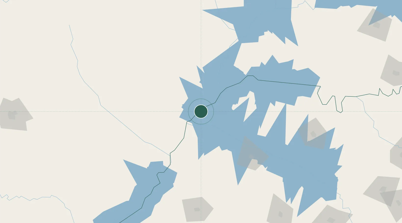
Ilha Solteira
-20.4167°, -51.3333°
25,549
Population
2
Transport functions
Transport Functions
Port
Road
Hub Profile
Place type
Populated place
Region
São Paulo
Population
25,549
Time zone
America/Sao_Paulo
Elevation
372 m
Location
Nearby Logistics Neighbours
Cities
- 1Aparecida do Taboado45 km
- 2Três Lagoas56 km
- 3Fernandópolis116 km
- 4Panorama117 km
- 5Araçatuba128 km
Ports
- 1Paranagua635 km
- 2Santos650 km
- 3Sao Francisco705 km
- 4Sao Sebastiao718 km
- 5Itajai773 km
Airports
- 1Plínio Alarcom Airport52 km
- 2Araçatuba Airport124 km
- 3Presidente Prudente Airport196 km
- 4Prof. Eribelto Manoel Reino State Airport205 km
- 5Lins Airport217 km
Trade Zones
- 1ZPE de Fernandópolis (SP)111 km
- 2ZPE de Bataguassú (MS)181 km
- 3ZPE de Uberaba (MG)359 km
- 4Zona Franca Internacional662 km
- 5Zona Franca Global662 km
DatabookThe Record of Consolidated Knowledge
Brazil beyond logistics?