Seaport · Brazil
ItajaiBRITJ
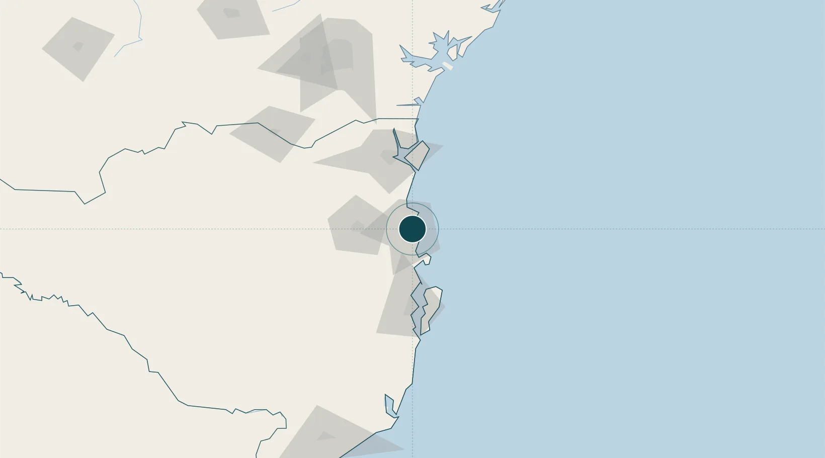
-26.9167°, -48.6333°
9.4 m
Channel depth
1
Container terminals
141.7
Port liner connectivity
Channel & Berth Profile
Pilotage, Tugs & Services
Pilotage compulsoryYES
Pilotage availableYES
Pilotage advisableYES
Local assistanceYES
Tug assistanceYES
Salvage tugsNO
Potable waterYES
Diesel bunkersNO
MedicalYES
Garbage disposalYES
Facilities & Capabilities
Container—
Ro-Ro—
Liquid bulk—
Dry bulk—
Oil terminal—
Break bulk—
Dry dock—
RepairsNO
BunkeringNO
Rail link—
Dangerous cargo—
ISPS security—
Harbour Specifications
Harbour size
Medium
Harbour type
River (Natural)
Shelter
Good
Water body
South Atlantic Ocean
Tidal range
1 m
Pilotage
Yes
Liner Connectivity
141.7
PLSCI
Port Liner Shipping Connectivity Index for Itajai, as published by UNCTAD for the latest available quarter. Higher values indicate stronger scheduled liner-shipping integration.
Shown relative to the highest per-port PLSCI in the dataset (1,657.9).
Location
Container Terminals · 1
JBS TERMINAIS ITAJAI
JBST SEARA OPERACOES PORTUARIAS LTDA
Nearby Logistics Neighbours
Ports
- 1Sao Francisco74 km
- 2Imbituba146 km
- 3Paranagua158 km
- 4Laguna177 km
- 5Tramandai371 km
Cities
- 1Navegantes7 km
- 2Balneário Camboriú7 km
- 3Porto Belo24 km
- 4Joinville71 km
- 5São Francisco do Sul75 km
Airports
Trade Zones
- 1ZPE de Imbituba (SC)78 km
- 2Zona Franca Puerto Iguazu Free Trade Zone609 km
- 3Zona Franca Internacional626 km
- 4Zona Franca Global627 km
- 5ZPE de Itaguaí (RJ)662 km
DatabookThe Record of Consolidated Knowledge
Brazil beyond logistics?