Medium airport · Brazil

Prof. Eribelto Manoel Reino State AirportSBSR
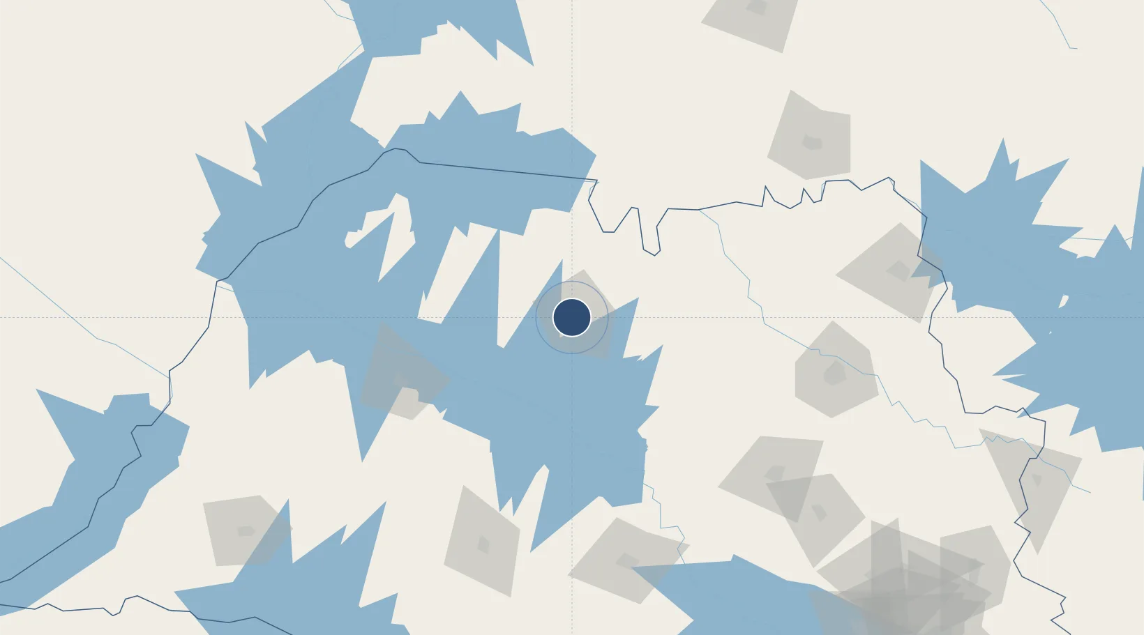
-20.8171°, -49.4070°
5,381 ft
Longest runway
1
Runways
1,784 ft
Elevation

Runway & Layout

Prof. Eribelto Manoel Reino State Airport runway & taxiway layout
Runway & taxiway layout — OpenStreetMap (ODbL) / OurAirports

Radio Frequencies

AFIS
130.85 MHz
RDO
OurAirports

Navaids

JRP NDB Rio Preto 420 kHz
OurAirports

Runways · 1

RunwayDimensions SurfaceTrue headingLit
7/25 5,381 × 115ft Asphalt 051°
OurAirports

Airport Specifications

IATA code
SJP
OurAirports
ICAO code
SBSR
OurAirports
Airport class
Medium airport
OurAirports
Scheduled service
Yes
OurAirports
Runway surface
Asphalt
OurAirports
Served city
São José do Rio Preto
OurAirports

Location

Location of SBSR
Natural Earth 10m (public domain) · São Paulo · SBSR · -20.82, -49.41GoogleOSMYandex

Nearby Logistics Neighbours

Airports
  1. 1Chafei Amsei Airport88 km
  2. 2Lins Airport100 km
  3. 3Araçatuba Airport112 km
  4. 4Bauru/Arealva–Moussa Nakhal Tobias State Airport153 km
  5. 5Frank Miloye Milenkowichi–Marília State Airport163 km
Nearest neighbours — logibook spatial index (haversine) over the source coordinates
Cities
  1. 1São José do Rio Preto5 km
  2. 2Votuporanga73 km
  3. 3Fernandópolis106 km
  4. 4Araçatuba115 km
  5. 5Pradópolis153 km
Nearest neighbours — logibook spatial index (haversine) over the source coordinates
Ports
  1. 1Santos473 km
  2. 2Paranagua529 km
  3. 3Sao Sebastiao529 km
  4. 4Angra Dos Reis579 km
  5. 5Sao Francisco609 km
Nearest neighbours — logibook spatial index (haversine) over the source coordinates
Trade Zones
  1. 1ZPE de Fernandópolis (SP)107 km
  2. 2ZPE de Uberaba (MG)194 km
  3. 3ZPE de Bataguassú (MS)326 km
  4. 4ZPE de Itaguaí (RJ)626 km
  5. 5Zona Franca Puerto Iguazu Free Trade Zone749 km
Nearest neighbours — logibook spatial index (haversine) over the source coordinates
DatabookThe Record of Consolidated Knowledge
Brazil beyond logistics?
Browse databook

All Sources

AirportsOurAirports
Public domain
Portsthe NGA World Port Index
Public domain (US gov)
LocationsUN/LOCODE
UN/LOCODE — free
Trade Zonesthe World Bank SEZ database
CC BY 4.0
Trade ZonesOpen Zone Map
CC BY
InfrastructureOpenStreetMap
ODbL 1.0
← Brazil airports