Free Trade Zone · Paraguay

Zona Franca Global Active
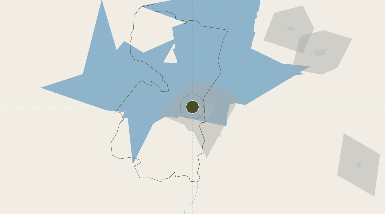
-25.4944°, -54.7132°
23 ha
Zone area
299.5 km
Nearest port
13.3 km
Nearest airport

Gateway access

Nearest neighbours — logibook spatial index (haversine) over the source coordinates

Zone profile

Zone type
Free Trade Zone
Open Zone Map
Region
Alto Paraná
Open Zone Map
Status
Active
Open Zone Map
Management
Public-Private Partnership
Open Zone Map
Operator
Zona Franca Global, SA
Open Zone Map
Legal framework
Law No. 523/95 Decree No. 15,554/96
Open Zone Map

Location

Location of ozm-3089
Natural Earth 10m (public domain) · Alto Paraná · ozm-3089 · -25.49, -54.71GoogleOSMYandex

Nearby Logistics Neighbours

Ports
  1. 1Puerto De Asuncion300 km
  2. 2Porto Alegre610 km
  3. 3Sao Francisco614 km
  4. 4Paranagua622 km
  5. 5Itajai627 km
Nearest neighbours — logibook spatial index (haversine) over the source coordinates
Airports
  1. 1Guaraní International Airport13 km
  2. 2Itaipú Airport14 km
  3. 3Cataratas International Airport25 km
  4. 4Cataratas Del Iguazú International Airport36 km
  5. 5Cooperativa Lar Heliport69 km
Nearest neighbours — logibook spatial index (haversine) over the source coordinates
Cities
  1. 1Ciudad del Este2 km
  2. 2Foz do Iguaçu14 km
  3. 3Santa Terezinha de Itaipu34 km
  4. 4Puerto Wanda54 km
  5. 5Santa Helena81 km
Nearest neighbours — logibook spatial index (haversine) over the source coordinates
Trade Zones
  1. 1Zona Franca Internacional1 km
  2. 2Zona Franca Puerto Iguazu Free Trade Zone19 km
  3. 3ZPE de Bataguassú (MS)484 km
  4. 4Rivera Free Zone611 km
  5. 5ZPE de Imbituba (SC)656 km
Nearest neighbours — logibook spatial index (haversine) over the source coordinates
DatabookThe Record of Consolidated Knowledge
Paraguay beyond logistics?
Browse databook

All Sources

Trade ZonesOpen Zone Map
CC BY
Portsthe NGA World Port Index
Public domain (US gov)
AirportsOurAirports
Public domain
LocationsUN/LOCODE
UN/LOCODE — free
← Paraguay trade zones