UN/LOCODE hub · Brazil
BRARU

Araçatuba

-21.2000°, -50.4333°
170,024
Population
3
Transport functions

Transport Functions

Port
Road
Airport
UN/LOCODE

Hub Profile

Place type
Populated place
GeoNames
Region
São Paulo
GeoNames
Population
170,024
GeoNames
Time zone
America/Sao_Paulo
GeoNames
Elevation
392 m
GeoNames

Location

Location of BRARU
Natural Earth 10m (public domain) · São Paulo · BRARU · -21.20, -50.43GoogleOSMYandex

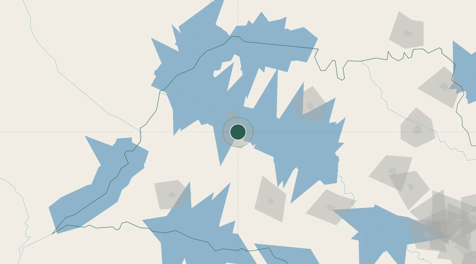
Nearby Logistics Neighbours

Cities
  1. 1Votuporanga100 km
  2. 2Fernandópolis106 km
  3. 3São José do Rio Preto119 km
  4. 4Ilha Solteira128 km
  5. 5Três Lagoas139 km
Nearest neighbours — logibook spatial index (haversine) over the source coordinates
Ports
  1. 1Paranagua517 km
  2. 2Santos523 km
  3. 3Sao Francisco591 km
  4. 4Sao Sebastiao592 km
  5. 5Itajai661 km
Nearest neighbours — logibook spatial index (haversine) over the source coordinates
Airports
  1. 1Araçatuba Airport7 km
  2. 2Lins Airport89 km
  3. 3Prof. Eribelto Manoel Reino State Airport115 km
  4. 4Frank Miloye Milenkowichi–Marília State Airport123 km
  5. 5Plínio Alarcom Airport139 km
Nearest neighbours — logibook spatial index (haversine) over the source coordinates
Trade Zones
  1. 1ZPE de Fernandópolis (SP)101 km
  2. 2ZPE de Bataguassú (MS)212 km
  3. 3ZPE de Uberaba (MG)305 km
  4. 4Zona Franca Puerto Iguazu Free Trade Zone646 km
  5. 5Zona Franca Internacional646 km
Nearest neighbours — logibook spatial index (haversine) over the source coordinates
DatabookThe Record of Consolidated Knowledge
Brazil beyond logistics?
Browse databook

All Sources

LocationsUN/LOCODE
UN/LOCODE — free
LocationsGeoNames
CC BY 4.0
Portsthe NGA World Port Index
Public domain (US gov)
AirportsOurAirports
Public domain
Trade Zonesthe World Bank SEZ database
CC BY 4.0
Trade ZonesOpen Zone Map
CC BY
← Brazil locations