UN/LOCODE hub · Brazil
BRATD
Aparecida do Taboado
-20.0833°, -51.0833°
27,674
Population
2
Transport functions
Transport Functions
Rail
Road
Hub Profile
Place type
Populated place
Region
Mato Grosso do Sul
Population
27,674
Time zone
America/Campo_Grande
Elevation
379 m
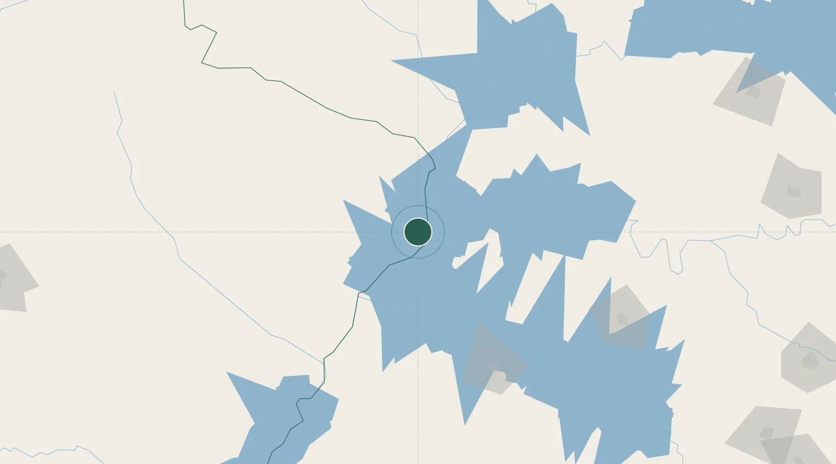
Location
Nearby Logistics Neighbours
Cities
- 1Ilha Solteira45 km
- 2Fernandópolis91 km
- 3Três Lagoas101 km
- 4Votuporanga122 km
- 5São Simão135 km
Ports
- 1Santos654 km
- 2Paranagua657 km
- 3Sao Sebastiao717 km
- 4Sao Francisco730 km
- 5Angra Dos Reis772 km
Airports
- 1Plínio Alarcom Airport97 km
- 2Araçatuba Airport136 km
- 3Prof. Eribelto Manoel Reino State Airport193 km
- 4Lins Airport225 km
- 5Presidente Prudente Airport235 km
Trade Zones
- 1ZPE de Fernandópolis (SP)88 km
- 2ZPE de Bataguassú (MS)226 km
- 3ZPE de Uberaba (MG)327 km
- 4ZPE DE Corumbá700 km
- 5Central Aguirre Portuaria705 km
DatabookThe Record of Consolidated Knowledge
Brazil beyond logistics?