Medium airport · Brazil

Araçatuba AirportSBAU
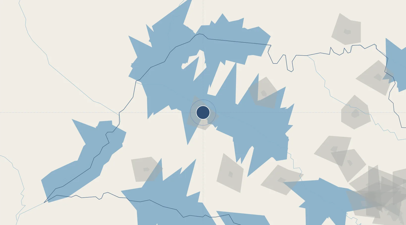
-21.1415°, -50.4246°
6,955 ft
Longest runway
1
Runways
1,358 ft
Elevation

Runway & Layout

Araçatuba Airport runway & taxiway layout
Runway & taxiway layout — OpenStreetMap (ODbL) / OurAirports

Radio Frequencies

RDO
130.6 MHz
OurAirports

Navaids

ARA NDB Aracatuba 265 kHz
OurAirports

Runways · 1

RunwayDimensions SurfaceTrue headingLit
5/23 6,955 × 115ft Asphalt
OurAirports

Airport Specifications

IATA code
ARU
OurAirports
ICAO code
SBAU
OurAirports
Airport class
Medium airport
OurAirports
Scheduled service
Yes
OurAirports
Runway surface
Asphalt
OurAirports
Served city
Araçatuba
OurAirports

Location

Location of SBAU
Natural Earth 10m (public domain) · São Paulo · SBAU · -21.14, -50.42GoogleOSMYandex

Nearby Logistics Neighbours

Airports
  1. 1Lins Airport92 km
  2. 2Prof. Eribelto Manoel Reino State Airport112 km
  3. 3Frank Miloye Milenkowichi–Marília State Airport128 km
  4. 4Plínio Alarcom Airport138 km
  5. 5Presidente Prudente Airport155 km
Nearest neighbours — logibook spatial index (haversine) over the source coordinates
Cities
  1. 1Araçatuba7 km
  2. 2Votuporanga94 km
  3. 3Fernandópolis99 km
  4. 4São José do Rio Preto116 km
  5. 5Ilha Solteira124 km
Nearest neighbours — logibook spatial index (haversine) over the source coordinates
Ports
  1. 1Paranagua522 km
  2. 2Santos526 km
  3. 3Sao Sebastiao595 km
  4. 4Sao Francisco597 km
  5. 5Angra Dos Reis663 km
Nearest neighbours — logibook spatial index (haversine) over the source coordinates
Trade Zones
  1. 1ZPE de Fernandópolis (SP)95 km
  2. 2ZPE de Bataguassú (MS)214 km
  3. 3ZPE de Uberaba (MG)301 km
  4. 4Zona Franca Puerto Iguazu Free Trade Zone651 km
  5. 5Zona Franca Internacional652 km
Nearest neighbours — logibook spatial index (haversine) over the source coordinates
DatabookThe Record of Consolidated Knowledge
Brazil beyond logistics?
Browse databook

All Sources

AirportsOurAirports
Public domain
Portsthe NGA World Port Index
Public domain (US gov)
LocationsUN/LOCODE
UN/LOCODE — free
Trade Zonesthe World Bank SEZ database
CC BY 4.0
Trade ZonesOpen Zone Map
CC BY
InfrastructureOpenStreetMap
ODbL 1.0
← Brazil airports