Medium airport · Brazil

Presidente Prudente AirportSBDN
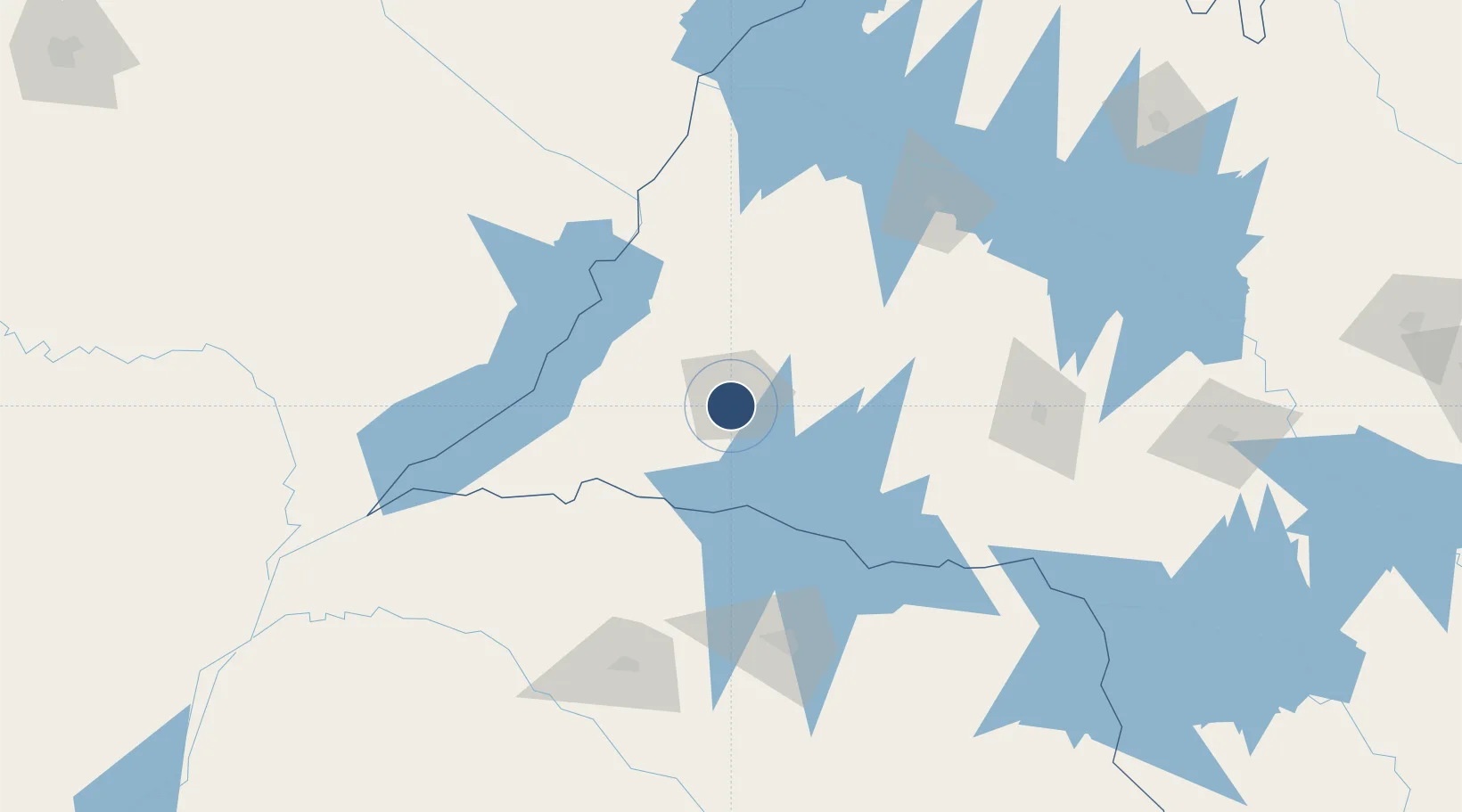
-22.1751°, -51.4246°
6,923 ft
Longest runway
1
Runways
1,477 ft
Elevation

Runway & Layout

Presidente Prudente Airport runway & taxiway layout
Runway & taxiway layout — OpenStreetMap (ODbL) / OurAirports

Radio Frequencies

TWR
118.45 MHz
PRUDENTE TWR
APP
118.45 MHz
PRUDENTE APP
AFIS
118.45 MHz
PRUDENTE RDO
OurAirports

Navaids

PRR VOR-DME Prudente 113.50 MHz
PRR NDB Prudente 225 kHz
OurAirports

Runways · 1

RunwayDimensions SurfaceTrue headingLit
12/30 6,923 × 115ft Asphalt 137°
OurAirports

Airport Specifications

IATA code
PPB
OurAirports
ICAO code
SBDN
OurAirports
Airport class
Medium airport
OurAirports
Scheduled service
Yes
OurAirports
Runway surface
Asphalt
OurAirports
Served city
Presidente Prudente
OurAirports

Location

Location of SBDN
Natural Earth 10m (public domain) · São Paulo · SBDN · -22.18, -51.42GoogleOSMYandex

Nearby Logistics Neighbours

Airports
  1. 1Governor José Richa Airport132 km
  2. 2Frank Miloye Milenkowichi–Marília State Airport154 km
  3. 3Araçatuba Airport155 km
  4. 4Regional de Maringá - Sílvio Name Júnior Airport157 km
  5. 5Plínio Alarcom Airport160 km
Nearest neighbours — logibook spatial index (haversine) over the source coordinates
Cities
  1. 1Presidente Epitácio83 km
  2. 2Panorama102 km
  3. 3Cambé124 km
  4. 4Londrina128 km
  5. 5Sarandi147 km
Nearest neighbours — logibook spatial index (haversine) over the source coordinates
Ports
  1. 1Paranagua473 km
  2. 2Sao Francisco534 km
  3. 3Santos560 km
  4. 4Itajai598 km
  5. 5Sao Sebastiao643 km
Nearest neighbours — logibook spatial index (haversine) over the source coordinates
Trade Zones
  1. 1ZPE de Bataguassú (MS)115 km
  2. 2ZPE de Fernandópolis (SP)240 km
  3. 3ZPE de Uberaba (MG)451 km
  4. 4Zona Franca Puerto Iguazu Free Trade Zone497 km
  5. 5Zona Franca Internacional497 km
Nearest neighbours — logibook spatial index (haversine) over the source coordinates
DatabookThe Record of Consolidated Knowledge
Brazil beyond logistics?
Browse databook

All Sources

AirportsOurAirports
Public domain
Portsthe NGA World Port Index
Public domain (US gov)
LocationsUN/LOCODE
UN/LOCODE — free
Trade Zonesthe World Bank SEZ database
CC BY 4.0
Trade ZonesOpen Zone Map
CC BY
InfrastructureOpenStreetMap
ODbL 1.0
← Brazil airports