Seaport · Brazil
ParanaguaBRPNG
-25.5000°, -48.5167°
11.0 m
Channel depth
1
Container terminals
266.2
Port liner connectivity
Channel & Berth Profile
Pilotage, Tugs & Services
Pilotage compulsoryYES
Pilotage availableYES
Tug assistanceYES
Salvage tugsNO
Shore powerYES
Potable waterYES
Diesel bunkersYES
MedicalYES
Garbage disposalNO
Facilities & Capabilities
Container—
Ro-Ro—
Liquid bulk—
Dry bulk—
Oil terminal—
Break bulk—
Dry dock—
RepairsNO
BunkeringYES
Rail linkYES
Dangerous cargo—
ISPS security—
Harbour Specifications
Harbour size
Small
Harbour type
Coastal (Natural)
Shelter
Good
Water body
South Atlantic Ocean
Tidal range
2 m
Overhead limit
Yes
Pilotage
Yes
Liner Connectivity
266.2
PLSCI
Port Liner Shipping Connectivity Index for Paranagua, as published by UNCTAD for the latest available quarter. Higher values indicate stronger scheduled liner-shipping integration.
Shown relative to the highest per-port PLSCI in the dataset (1,657.9).
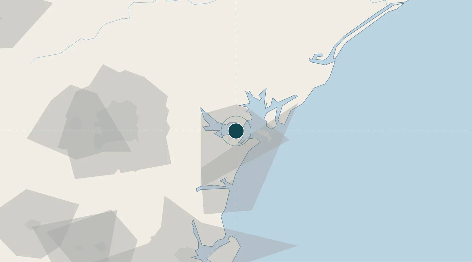
Location
Container Terminals · 1
TCP DE CONTEINERES DE PARANAGUA SA
TCP
Nearby Logistics Neighbours
Ports
- 1Sao Francisco84 km
- 2Itajai158 km
- 3Santos283 km
- 4Imbituba304 km
- 5Laguna335 km
Cities
- 1Pontal do Paraná13 km
- 2Antonina21 km
- 3Curitiba70 km
- 4Itapoá73 km
- 5Almirante Tamandaré82 km
Airports
Trade Zones
- 1ZPE de Imbituba (SC)235 km
- 2ZPE de Itaguaí (RJ)560 km
- 3ZPE de Bataguassú (MS)580 km
- 4ZPE de Fernandópolis (SP)605 km
- 5Zona Franca Puerto Iguazu Free Trade Zone607 km
DatabookThe Record of Consolidated Knowledge
Brazil beyond logistics?