UN/LOCODE hub · Brazil
BRPEO
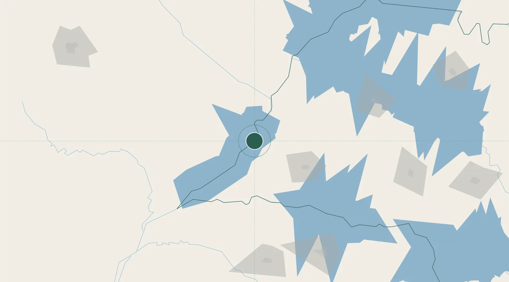
Presidente Epitácio
-21.7667°, -52.1000°
39,505
Population
3
Transport functions
Transport Functions
Port
Road
Airport
Hub Profile
Place type
Populated place
Region
São Paulo
Population
39,505
Time zone
America/Sao_Paulo
Elevation
305 m
Location
Nearby Logistics Neighbours
Cities
- 1Panorama53 km
- 2Três Lagoas117 km
- 3Ilha Solteira170 km
- 4Araçatuba184 km
- 5Maringá184 km
Ports
- 1Paranagua553 km
- 2Sao Francisco610 km
- 3Santos642 km
- 4Itajai672 km
- 5Puerto De Asuncion689 km
Airports
- 1Presidente Prudente Airport83 km
- 2Plínio Alarcom Airport121 km
- 3Fazenda Mimosa Airport177 km
- 4Araçatuba Airport187 km
- 5Regional de Maringá - Sílvio Name Júnior Airport190 km
Trade Zones
- 1ZPE de Bataguassú (MS)33 km
- 2ZPE de Fernandópolis (SP)250 km
- 3ZPE de Uberaba (MG)486 km
- 4Zona Franca Internacional492 km
- 5Zona Franca Global493 km
DatabookThe Record of Consolidated Knowledge
Brazil beyond logistics?