Medium airport · Brazil
Lins AirportSBLN
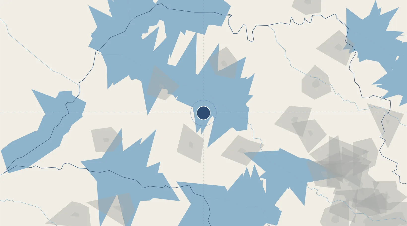
-21.6635°, -49.7300°
5,577 ft
Longest runway
1
Runways
1,575 ft
Elevation
Runway & Layout

Radio Frequencies
AFIS
130 MHz
RDO
Runways · 1
| Runway | Dimensions | Surface | True heading | Lit |
|---|---|---|---|---|
| 14/32 | 5,577 × 105ft | Asphalt | — | — |
Airport Specifications
IATA code
LIP
ICAO code
SWXQ
Airport class
Medium airport
Scheduled service
No
Runway surface
Asphalt
Served city
Lins
Location
Nearby Logistics Neighbours
Airports
Cities
- 1Araçatuba89 km
- 2Bauru100 km
- 3São José do Rio Preto103 km
- 4Bariri112 km
- 5Pederneiras125 km
Ports
- 1Santos434 km
- 2Paranagua444 km
- 3Sao Sebastiao504 km
- 4Sao Francisco522 km
- 5Angra Dos Reis577 km
Trade Zones
- 1ZPE de Fernandópolis (SP)162 km
- 2ZPE de Bataguassú (MS)277 km
- 3ZPE de Uberaba (MG)284 km
- 4ZPE de Itaguaí (RJ)628 km
- 5Zona Franca Puerto Iguazu Free Trade Zone659 km
DatabookThe Record of Consolidated Knowledge
Brazil beyond logistics?