Seaport · Brazil
Sao FranciscoBRSFS
-26.2500°, -48.6333°
11.0 m
Channel depth
1
Container terminals
13.1
Port liner connectivity
Channel & Berth Profile
Pilotage, Tugs & Services
Pilotage compulsoryYES
Pilotage availableYES
Tug assistanceYES
Shore powerYES
Potable waterYES
MedicalYES
Garbage disposalYES
Facilities & Capabilities
Container—
Ro-Ro—
Liquid bulk—
Dry bulk—
Oil terminal—
Break bulk—
Dry dock—
RepairsNO
BunkeringYES
Rail linkYES
Dangerous cargo—
ISPS security—
Harbour Specifications
Harbour size
Small
Harbour type
River (Natural)
Shelter
Poor
Water body
South Atlantic Ocean
Tidal range
2 m
Overhead limit
Yes
Pilotage
Yes
Liner Connectivity
13.1
PLSCI
Port Liner Shipping Connectivity Index for Sao Francisco, as published by UNCTAD for the latest available quarter. Higher values indicate stronger scheduled liner-shipping integration.
Shown relative to the highest per-port PLSCI in the dataset (1,657.9).
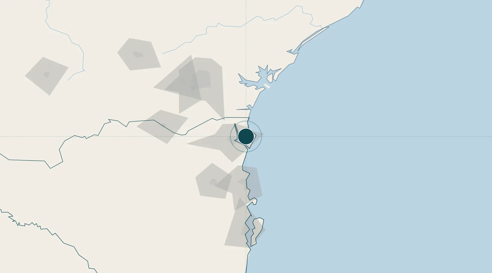
Location
Container Terminals · 1
TESC TERMINAL SANTA CATARINA SA
TESC
Nearby Logistics Neighbours
Cities
- 1Itapoá12 km
- 2Joinville21 km
- 3Navegantes70 km
- 4Itajaí72 km
- 5Pontal do Paraná77 km
Airports
Trade Zones
- 1ZPE de Imbituba (SC)152 km
- 2Zona Franca Puerto Iguazu Free Trade Zone597 km
- 3Zona Franca Internacional613 km
- 4Zona Franca Global614 km
- 5ZPE de Itaguaí (RJ)616 km
DatabookThe Record of Consolidated Knowledge
Brazil beyond logistics?