Transport Functions
Port
Road
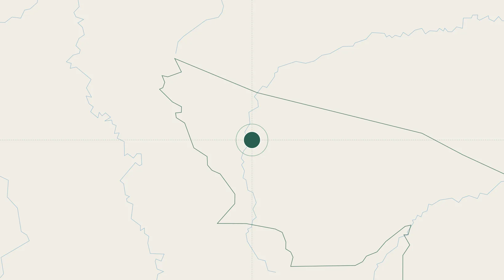
Hub Profile
Place type
Populated place
Region
Acre
Population
10,735
Time zone
America/Rio_Branco
Elevation
195 m
Location
Nearby Logistics Neighbours
Cities
- 1Cruzeiro do Sul71 km
- 2Guajará82 km
- 3Ipixuna177 km
- 4Eirunepé363 km
- 5Morales457 km
Ports
- 1Iquitos503 km
- 2Chancay618 km
- 3Puerto Supe619 km
- 4Puerto De Huacho623 km
- 5Bahia De Ancon624 km
Airports
DatabookThe Record of Consolidated Knowledge
Brazil beyond logistics?