Medium airport · Brazil

Cruzeiro do Sul AirportSBCZ
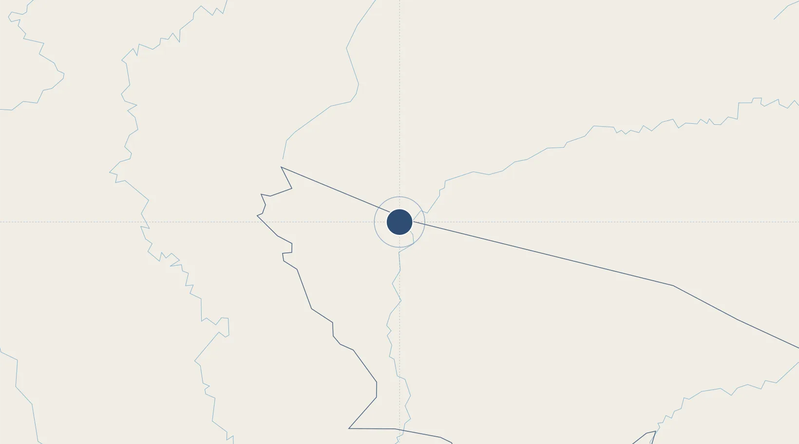
-7.5999°, -72.7695°
7,874 ft
Longest runway
1
Runways
637 ft
Elevation

Runway & Layout

Cruzeiro do Sul Airport runway & taxiway layout
Runway & taxiway layout — OpenStreetMap (ODbL) / OurAirports

Radio Frequencies

AFIS
125.7 MHz
OurAirports

Navaids

CZS VOR-DME Cruzeiro Do Sul 112.00 MHz
CZS NDB Cruzeiro Do Sul 260 kHz
OurAirports

Runways · 1

RunwayDimensions SurfaceTrue headingLit
10/28 7,874 × 148ft Asphalt
OurAirports

Airport Specifications

IATA code
CZS
OurAirports
ICAO code
SBCZ
OurAirports
Airport class
Medium airport
OurAirports
Scheduled service
Yes
OurAirports
Runway surface
Asphalt
OurAirports
Served city
Cruzeiro Do Sul
OurAirports

Location

Location of SBCZ
Natural Earth 10m (public domain) · Acre · SBCZ · -7.60, -72.77GoogleOSMYandex

Nearby Logistics Neighbours

Airports
  1. 1Cap FAP David Abenzur Rengifo International Airport217 km
  2. 2Tarauacá Airport227 km
  3. 3Teniente General Gerardo Pérez Pinedo Airport365 km
  4. 4Pozuzo Airport411 km
  5. 5Moises Benzaquen Rengifo Airport416 km
Nearest neighbours — logibook spatial index (haversine) over the source coordinates
Cities
  1. 1Cruzeiro do Sul12 km
  2. 2Guajará24 km
  3. 3Porto Walter72 km
  4. 4Ipixuna135 km
  5. 5Eirunepé338 km
Nearest neighbours — logibook spatial index (haversine) over the source coordinates
Ports
  1. 1Iquitos431 km
  2. 2Puerto Supe652 km
  3. 3Punta Lobitos (Bahia De Huarmey)655 km
  4. 4Puerto De Huacho660 km
  5. 5Chancay661 km
Nearest neighbours — logibook spatial index (haversine) over the source coordinates
Trade Zones
  1. 1Cobija Commercial and Industrial Free Zone587 km
  2. 2ZPE do Acre (AC)633 km
  3. 3Zona Franca del Oro924 km
  4. 4Zona Especial de Desarrollo Paita (Special Development Zone of Paita)960 km
  5. 5Contecon Guayaquil Free Zone987 km
Nearest neighbours — logibook spatial index (haversine) over the source coordinates
DatabookThe Record of Consolidated Knowledge
Brazil beyond logistics?
Browse databook

All Sources

AirportsOurAirports
Public domain
Portsthe NGA World Port Index
Public domain (US gov)
LocationsUN/LOCODE
UN/LOCODE — free
Trade Zonesthe World Bank SEZ database
CC BY 4.0
Trade ZonesOpen Zone Map
CC BY
InfrastructureOpenStreetMap
ODbL 1.0
← Brazil airports