Medium airport · Peru

Teniente General Gerardo Pérez Pinedo AirportSPAY
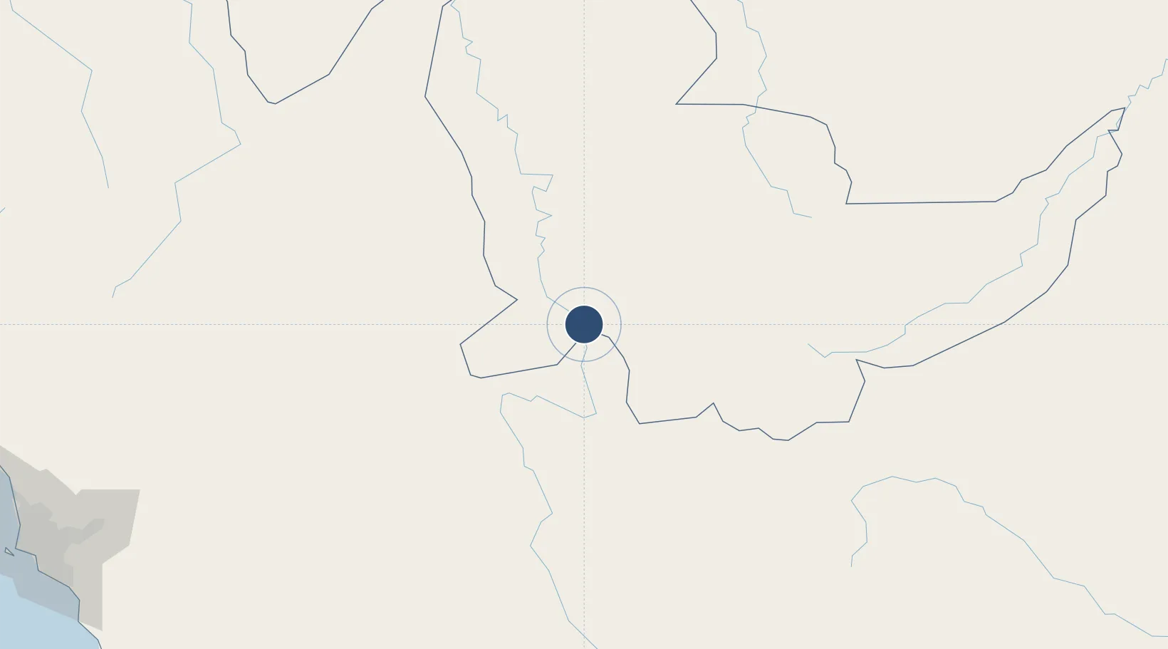
-10.7291°, -73.7665°
4,921 ft
Longest runway
1
Runways
751 ft
Elevation

Runway & Layout

Teniente General Gerardo Pérez Pinedo Airport runway & taxiway layout
Runway & taxiway layout — OpenStreetMap (ODbL) / OurAirports

Radio Frequencies

RDO
126.9 MHz
OurAirports

Navaids

LAY NDB Atalaya 295 kHz
OurAirports

Runways · 1

RunwayDimensions SurfaceTrue headingLit
04/22 4,921 × 98ft Asphalt 045°
OurAirports

Airport Specifications

IATA code
AYX
OurAirports
ICAO code
SPAY
OurAirports
Airport class
Medium airport
OurAirports
Scheduled service
No
OurAirports
Runway surface
Asphalt
OurAirports
Served city
Atalaya
OurAirports

Location

Location of SPAY
Natural Earth 10m (public domain) · Ucayali · SPAY · -10.73, -73.77GoogleOSMYandex

Nearby Logistics Neighbours

Airports
  1. 1Pozuzo Airport208 km
  2. 2Huancayo Airport216 km
  3. 3Francisco Carle Airport220 km
  4. 4Air Force Colonel Alfredo Mendivil Duarte Airport274 km
  5. 5Cap FAP David Abenzur Rengifo International Airport276 km
Nearest neighbours — logibook spatial index (haversine) over the source coordinates
Cities
  1. 1Cerro de Pasco273 km
  2. 2Magdalena286 km
  3. 3Porto Walter298 km
  4. 4Quinches312 km
  5. 5Abancay337 km
Nearest neighbours — logibook spatial index (haversine) over the source coordinates
Ports
  1. 1Conchan Oil Terminal387 km
  2. 2Bahia De Ancon390 km
  3. 3La Pampilla Oil Terminal391 km
  4. 4Chancay392 km
  5. 5Puerto Del Callao397 km
Nearest neighbours — logibook spatial index (haversine) over the source coordinates
DatabookThe Record of Consolidated Knowledge
Peru beyond logistics?
Browse databook

All Sources

AirportsOurAirports
Public domain
Portsthe NGA World Port Index
Public domain (US gov)
LocationsUN/LOCODE
UN/LOCODE — free
Trade Zonesthe World Bank SEZ database
CC BY 4.0
Trade ZonesOpen Zone Map
CC BY
InfrastructureOpenStreetMap
ODbL 1.0
← Peru airports