UN/LOCODE hub · Brazil
BRCZS
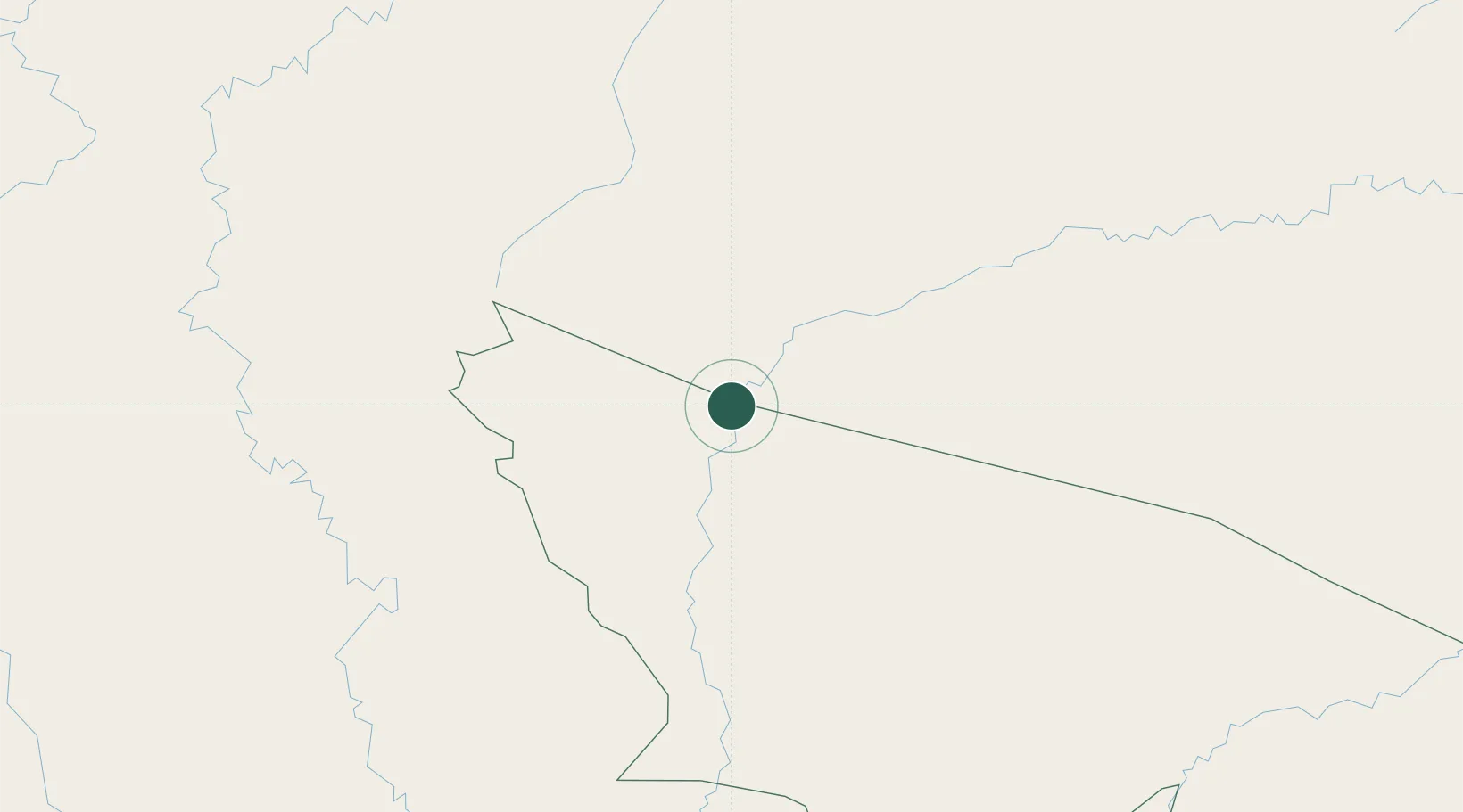
Cruzeiro do Sul
-7.6167°, -72.6667°
91,888
Population
3
Transport functions
Transport Functions
Port
Road
Airport
Hub Profile
Place type
Populated place
Region
Acre
Population
91,888
Time zone
America/Rio_Branco
Elevation
195 m
Location
Nearby Logistics Neighbours
Cities
- 1Guajará14 km
- 2Porto Walter71 km
- 3Ipixuna125 km
- 4Eirunepé328 km
- 5Lagunas426 km
Ports
- 1Iquitos435 km
- 2Puerto Supe661 km
- 3Punta Lobitos (Bahia De Huarmey)664 km
- 4Puerto De Huacho668 km
- 5Chancay669 km
Airports
Trade Zones
DatabookThe Record of Consolidated Knowledge
Brazil beyond logistics?