Channel & Berth Profile
Pilotage, Tugs & Services
Pilotage compulsoryNO
Pilotage availableNO
Tug assistanceYES
Potable waterNO
Diesel bunkersYES
MedicalYES
Facilities & Capabilities
Container—
Ro-Ro—
Liquid bulk—
Dry bulk—
Oil terminal—
Break bulk—
Dry dock—
RepairsNO
BunkeringNO
Rail linkYES
Dangerous cargo—
ISPS security—
Harbour Specifications
Harbour size
Very Small
Harbour type
Open Roadstead
Shelter
Fair
Water body
South Pacific Ocean
Tidal range
1 m
Pilotage
No
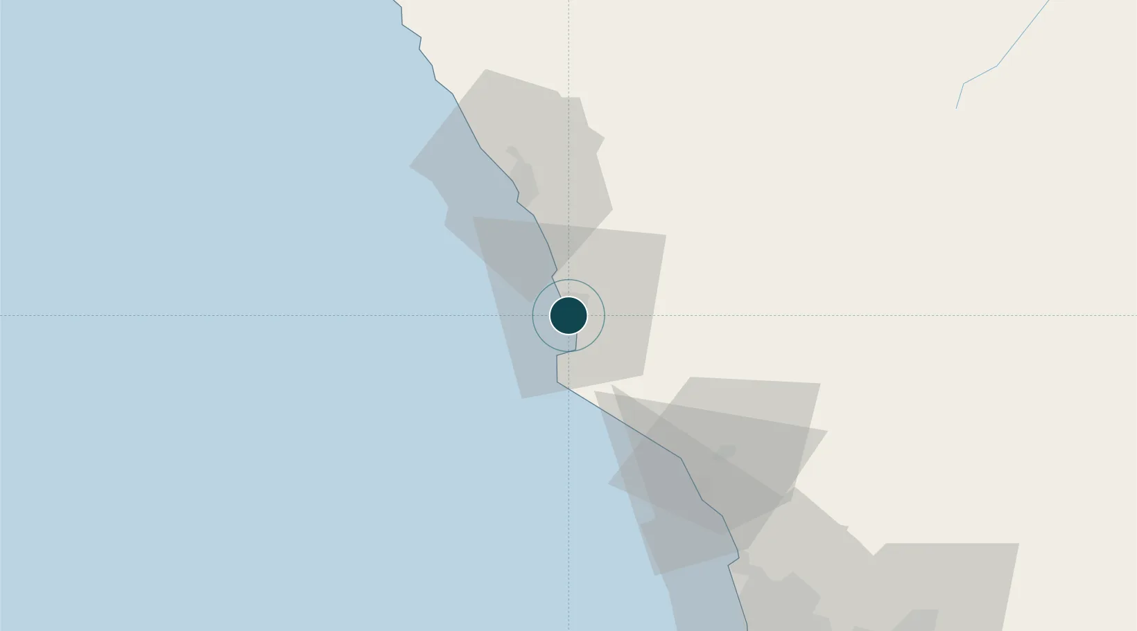
Location
Nearby Logistics Neighbours
Ports
- 1Puerto Supe38 km
- 2Chancay66 km
- 3Bahia De Ancon85 km
- 4La Pampilla Oil Terminal105 km
- 5Puerto Del Callao116 km
Airports
DatabookThe Record of Consolidated Knowledge
Peru beyond logistics?