Transport Functions
Port
Road
Hub Profile
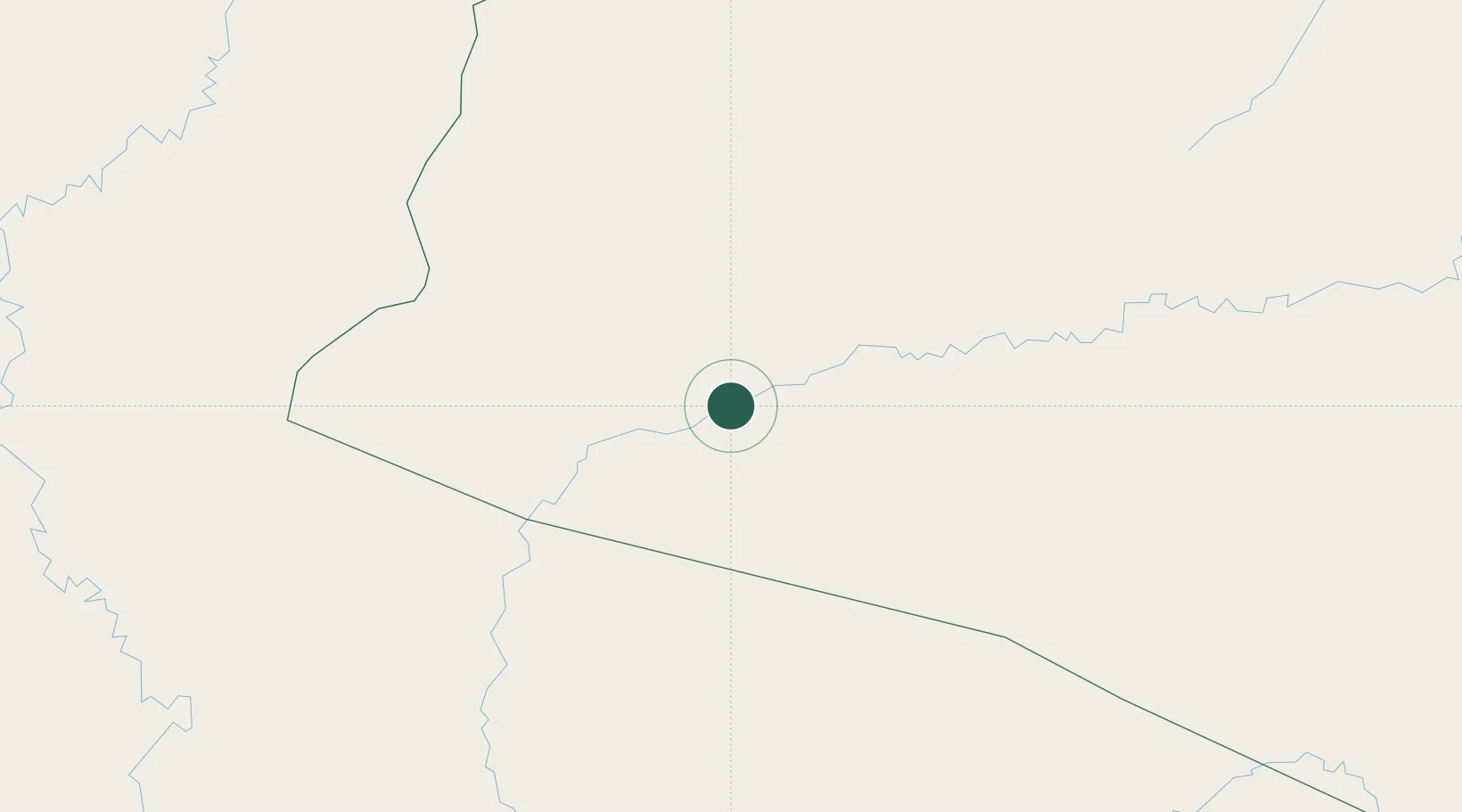
Place type
Populated place
Region
Amazonas
Population
25,458
Time zone
America/Eirunepe
Elevation
156 m
Location
Nearby Logistics Neighbours
Cities
- 1Guajará111 km
- 2Cruzeiro do Sul125 km
- 3Porto Walter177 km
- 4Eirunepé207 km
- 5Benjamin Constant351 km
Ports
- 1Iquitos405 km
- 2Puerto Supe786 km
- 3Punta Lobitos (Bahia De Huarmey)789 km
- 4Chancay792 km
- 5Puerto De Huacho793 km
Airports
Trade Zones
DatabookThe Record of Consolidated Knowledge
Brazil beyond logistics?