Large airport · Peru
Cap FAP David Abenzur Rengifo International AirportSPCL
-8.3781°, -74.5745°
9,186 ft
Longest runway
1
Runways
513 ft
Elevation
Runway & Layout

Radio Frequencies
TWR
126.9 MHz
PUCALLPA TWR
APP
118.1 MHz
PUCALLPA APP
Navaids
PUL VOR-DME Pucallpa 116.70 MHz
Runways · 1
| Runway | Dimensions | Surface | True heading | Lit |
|---|---|---|---|---|
| 02/20 | 9,186 × 148ft | Asphalt | 020° | ✓ |
Airport Specifications
IATA code
PCL
ICAO code
SPCL
Airport class
Large airport
Scheduled service
Yes
Runway surface
Asphalt
Served city
Pucallpa
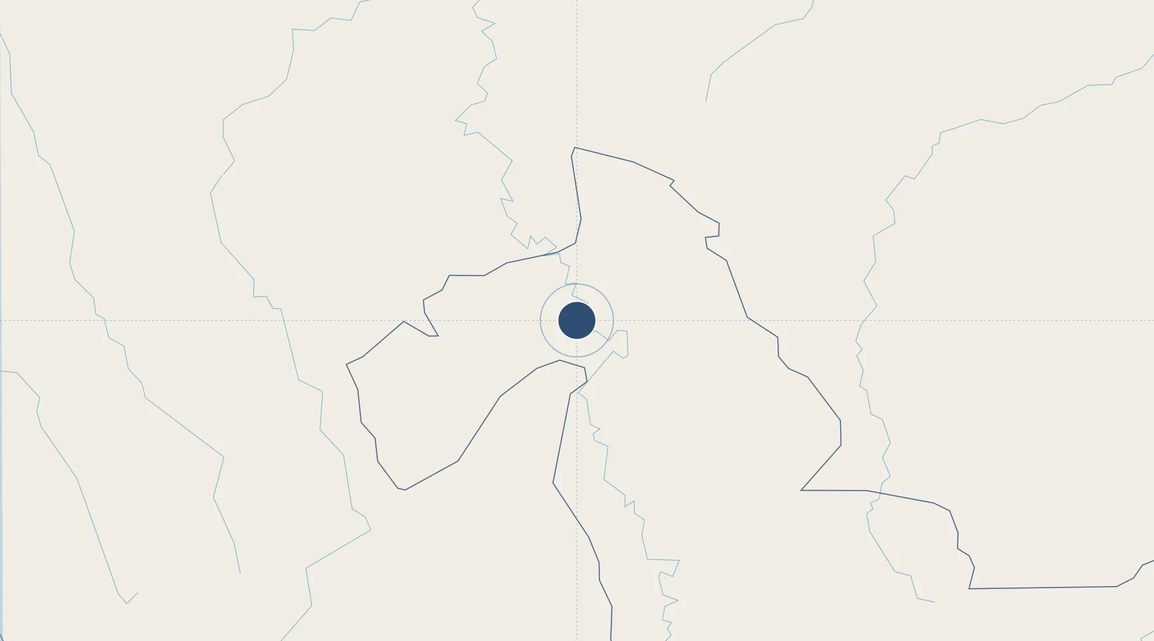
Location
Nearby Logistics Neighbours
Airports
Cities
- 1Porto Walter203 km
- 2Cruzeiro do Sul227 km
- 3Guajará240 km
- 4Morales298 km
- 5Cerro de Pasco316 km
Ports
- 1Punta Lobitos (Bahia De Huarmey)438 km
- 2Puerto Supe440 km
- 3Puerto De Chimbote451 km
- 4Puerto De Huacho452 km
- 5Chancay461 km
Trade Zones
DatabookThe Record of Consolidated Knowledge
Peru beyond logistics?