Runway & Layout

Airport Specifications
ICAO code
SPPO
Airport class
Small airport
Scheduled service
Yes
Served city
Pozuzo
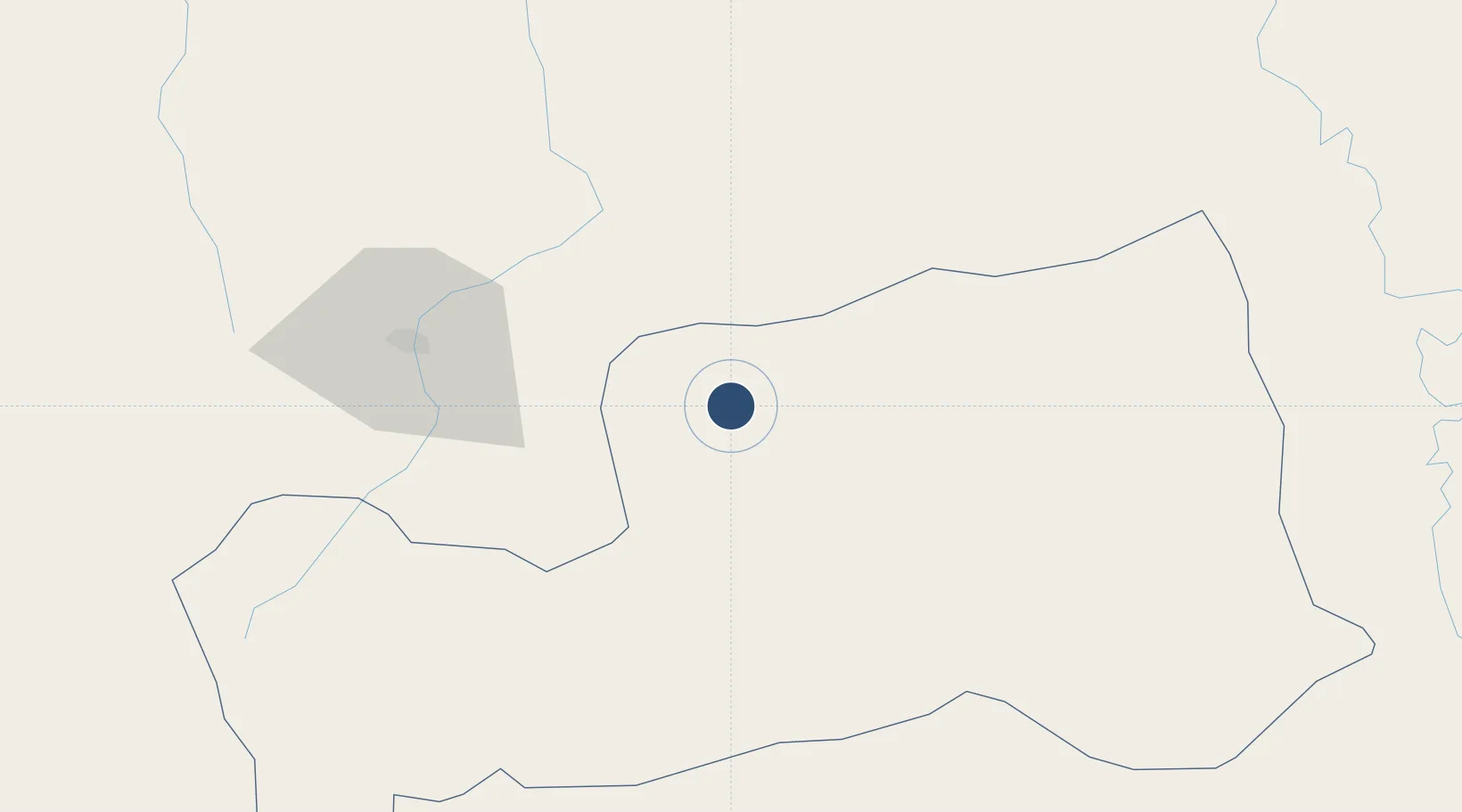
Location
Nearby Logistics Neighbours
Airports
Cities
- 1Cerro de Pasco104 km
- 2Magdalena190 km
- 3Huaral239 km
- 4Chancay254 km
- 5Quinches256 km
Ports
- 1Chancay251 km
- 2Puerto Supe254 km
- 3Puerto De Huacho254 km
- 4Bahia De Ancon258 km
- 5La Pampilla Oil Terminal270 km
DatabookThe Record of Consolidated Knowledge
Peru beyond logistics?