Transport Functions
Port
Road
Airport
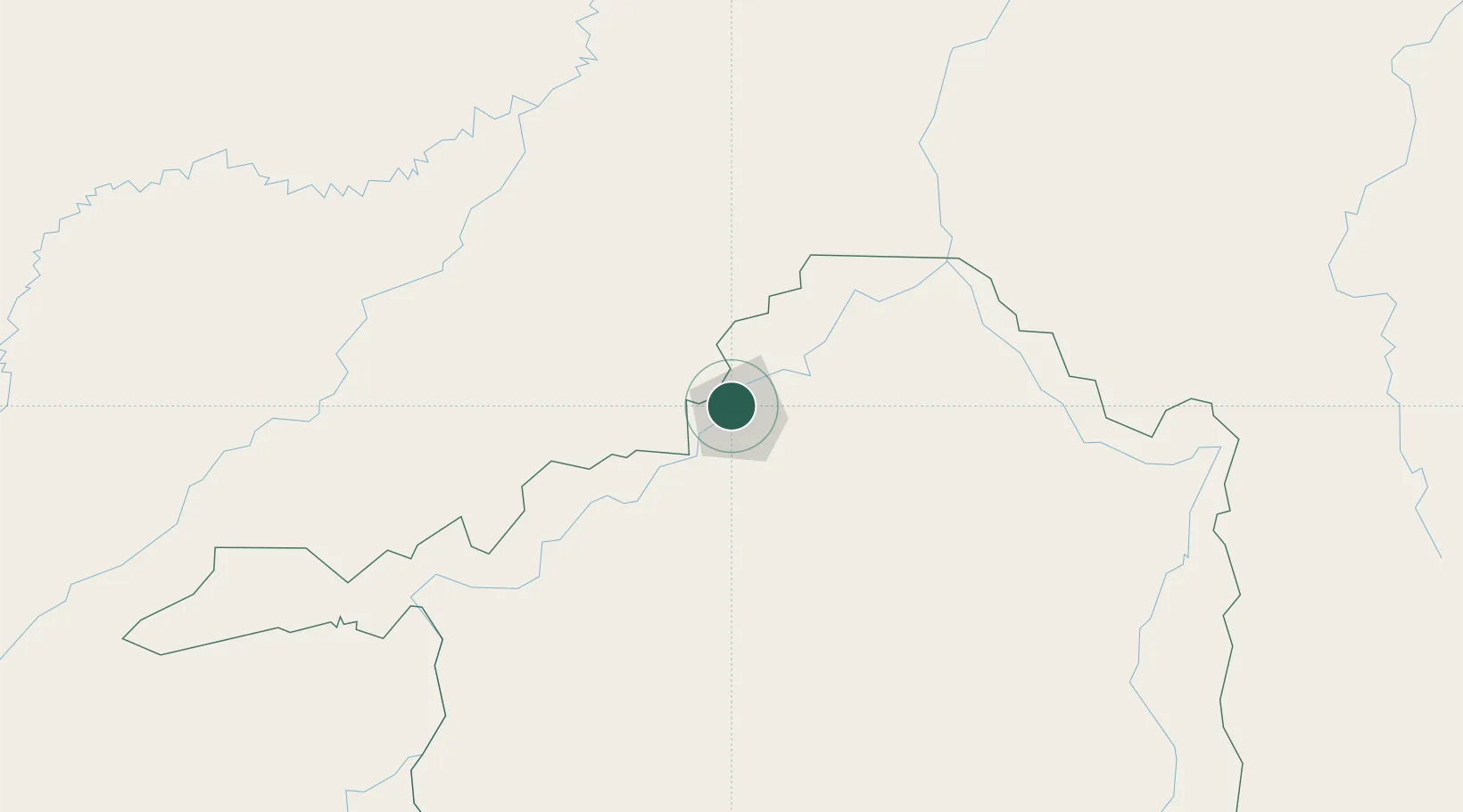
Hub Profile
Place type
Regional capital
Region
Rondônia
Population
548,952
Time zone
America/Porto_Velho
Elevation
90 m
Logistics facilities
5
Location
Nearby Logistics Neighbours
Cities
- 1Humaitá168 km
- 2Canutama251 km
- 3Guajará-Mirim274 km
- 4Riberalta347 km
- 5Tapauá355 km
Ports
- 1Manaus757 km
- 2Itacoatiara866 km
- 3Iquitos1169 km
- 4Santarem1236 km
- 5Puerto Ilo1277 km
Airports
- 1Governador Jorge Teixeira de Oliveira International Airport2 km
- 2Lábrea Airport186 km
- 3Guajará-Mirim Airport274 km
- 4Guayaramerín Airport289 km
- 5Ji-Paraná Airport329 km
DatabookThe Record of Consolidated Knowledge
Brazil beyond logistics?