UN/LOCODE hub · Brazil
BRGJM
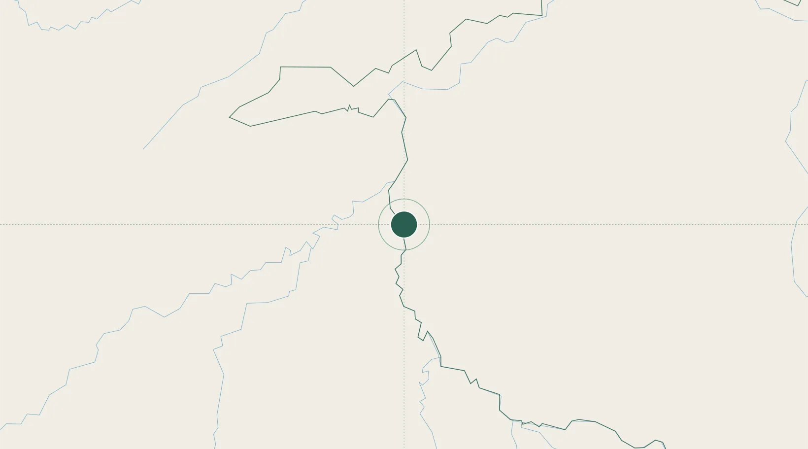
Guajará-Mirim
-10.7667°, -65.3167°
39,387
Population
3
Transport functions
Transport Functions
Port
Road
Multimodal
Hub Profile
Place type
Populated place
Region
Rondônia
Population
39,387
Time zone
America/Porto_Velho
Elevation
131 m
Location
Nearby Logistics Neighbours
Cities
- 1Riberalta89 km
- 2Puerto Rico255 km
- 3Porto Velho274 km
- 4Porto Acre275 km
- 5Rio Branco286 km
Ports
- 1Puerto Ilo1004 km
- 2Bahia De Matarani1009 km
- 3Rada De Arica1012 km
- 4Manaus1031 km
- 5Itacoatiara1136 km
Airports
DatabookThe Record of Consolidated Knowledge
Brazil beyond logistics?