Medium airport · Bolivia

Guayaramerín AirportSLGM
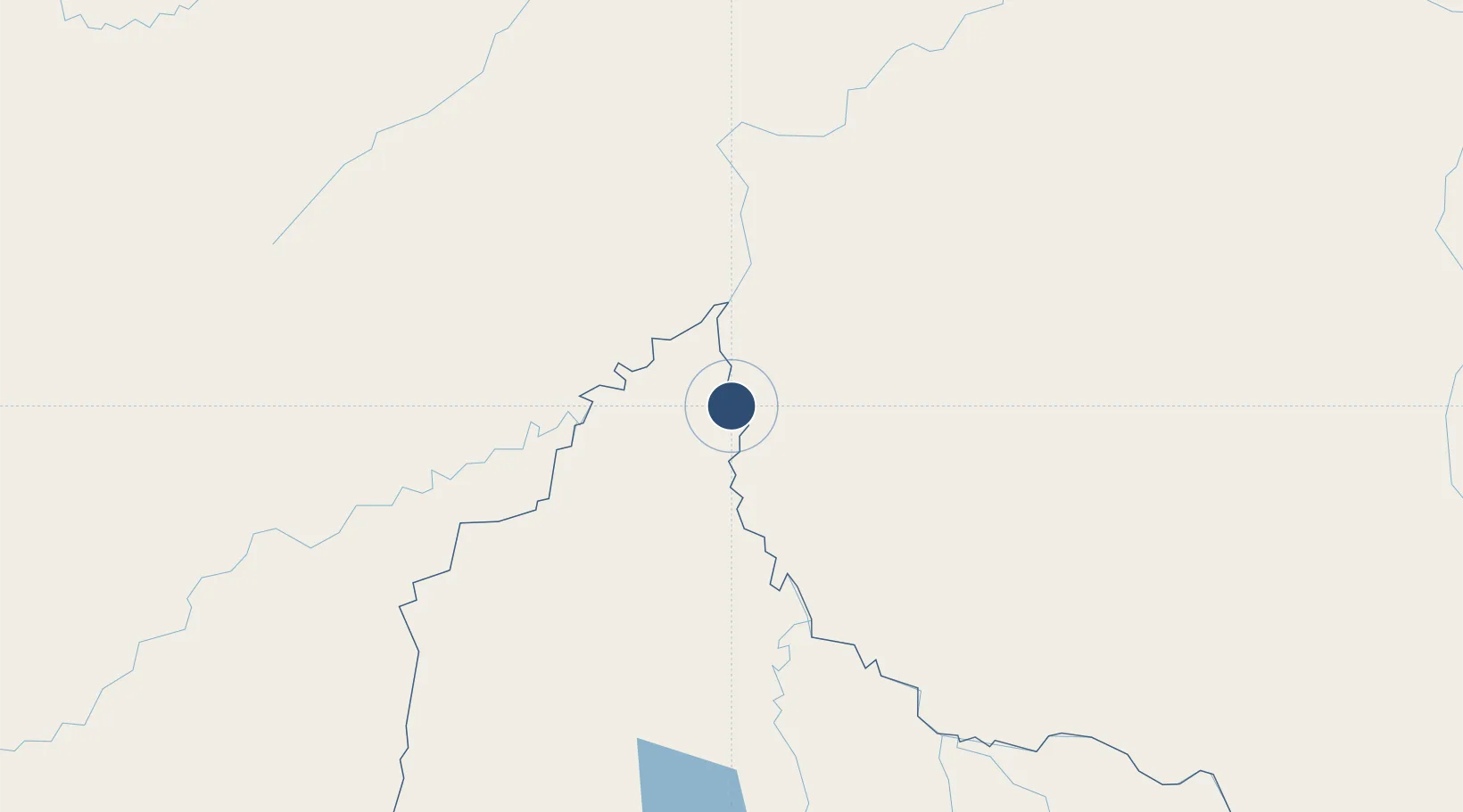
-10.8886°, -65.3810°
5,767 ft
Longest runway
1
Runways
456 ft
Elevation

Runway & Layout

Guayaramerín Airport runway & taxiway layout
Runway & taxiway layout — OpenStreetMap (ODbL) / OurAirports

Runways · 1

RunwayDimensions SurfaceTrue headingLit
16/34 5,767 × 69ft Asphalt
OurAirports

Airport Specifications

IATA code
GYA
OurAirports
ICAO code
SLGM
OurAirports
Airport class
Medium airport
OurAirports
Scheduled service
Yes
OurAirports
Runway surface
Asphalt
OurAirports
Served city
Guayaramerín
OurAirports

Location

Location of SLGM
Natural Earth 10m (public domain) · El Beni · SLGM · -10.89, -65.38GoogleOSMYandex

Nearby Logistics Neighbours

Cities
  1. 1Guajará-Mirim15 km
  2. 2Riberalta79 km
  3. 3Puerto Rico247 km
  4. 4Porto Acre276 km
  5. 5Rio Branco284 km
Nearest neighbours — logibook spatial index (haversine) over the source coordinates
Ports
  1. 1Puerto Ilo989 km
  2. 2Bahia De Matarani995 km
  3. 3Rada De Arica997 km
  4. 4Manaus1046 km
  5. 5Itacoatiara1151 km
Nearest neighbours — logibook spatial index (haversine) over the source coordinates
Trade Zones
  1. 1ZPE do Acre (AC)258 km
  2. 2Cobija Commercial and Industrial Free Zone374 km
  3. 3La Paz Commercial and Industrial Free Zone699 km
  4. 4Zofrapat Commercial and Industrial Free Zone758 km
  5. 5Santa Cruz Commercial and Industrial Free Zone781 km
Nearest neighbours — logibook spatial index (haversine) over the source coordinates
DatabookThe Record of Consolidated Knowledge
Bolivia beyond logistics?
Browse databook

All Sources

AirportsOurAirports
Public domain
Portsthe NGA World Port Index
Public domain (US gov)
LocationsUN/LOCODE
UN/LOCODE — free
Trade Zonesthe World Bank SEZ database
CC BY 4.0
Trade ZonesOpen Zone Map
CC BY
InfrastructureOpenStreetMap
ODbL 1.0
← Bolivia airports