Medium airport · Brazil

Guajará-Mirim AirportSBGM
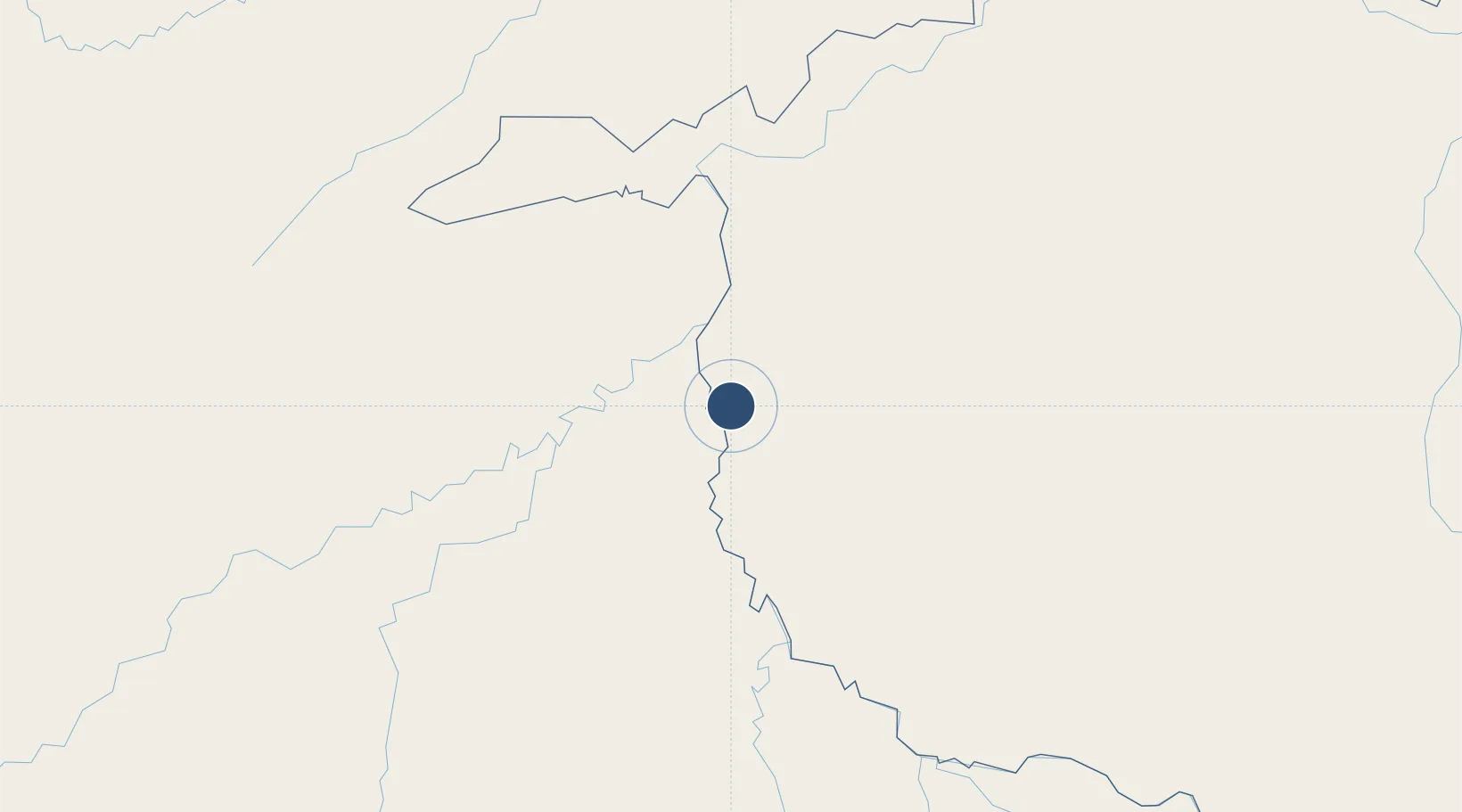
-10.7864°, -65.2849°
5,889 ft
Longest runway
1
Runways
478 ft
Elevation

Runway & Layout

Guajará-Mirim Airport runway & taxiway layout
Runway & taxiway layout — OpenStreetMap (ODbL) / OurAirports

Radio Frequencies

RDO
125.9 MHz
OurAirports

Navaids

GJM NDB Guajara 400 kHz
OurAirports

Runways · 1

RunwayDimensions SurfaceTrue headingLit
17/35 5,889 × 148ft Asphalt
OurAirports

Airport Specifications

IATA code
GJM
OurAirports
ICAO code
SBGM
OurAirports
Airport class
Medium airport
OurAirports
Scheduled service
No
OurAirports
Runway surface
Asphalt
OurAirports
Served city
Guajará-Mirim
OurAirports

Location

Location of SBGM
Natural Earth 10m (public domain) · Rondônia · SBGM · -10.79, -65.28GoogleOSMYandex

Nearby Logistics Neighbours

Airports
  1. 1Guayaramerín Airport16 km
  2. 2Capitán Av. Selin Zeitun Lopez Airport90 km
  3. 3Puerto Rico Airport250 km
  4. 4Governador Jorge Teixeira de Oliveira International Airport276 km
  5. 5Rio Branco-Plácido de Castro International Airport303 km
Nearest neighbours — logibook spatial index (haversine) over the source coordinates
Cities
  1. 1Guajará-Mirim4 km
  2. 2Riberalta92 km
  3. 3Puerto Rico259 km
  4. 4Porto Velho274 km
  5. 5Porto Acre279 km
Nearest neighbours — logibook spatial index (haversine) over the source coordinates
Ports
  1. 1Puerto Ilo1004 km
  2. 2Bahia De Matarani1010 km
  3. 3Rada De Arica1012 km
  4. 4Manaus1030 km
  5. 5Itacoatiara1135 km
Nearest neighbours — logibook spatial index (haversine) over the source coordinates
Trade Zones
  1. 1ZPE do Acre (AC)264 km
  2. 2Cobija Commercial and Industrial Free Zone385 km
  3. 3La Paz Commercial and Industrial Free Zone714 km
  4. 4Zofrapat Commercial and Industrial Free Zone772 km
  5. 5Santa Cruz Commercial and Industrial Free Zone789 km
Nearest neighbours — logibook spatial index (haversine) over the source coordinates
DatabookThe Record of Consolidated Knowledge
Brazil beyond logistics?
Browse databook

All Sources

AirportsOurAirports
Public domain
Portsthe NGA World Port Index
Public domain (US gov)
LocationsUN/LOCODE
UN/LOCODE — free
Trade Zonesthe World Bank SEZ database
CC BY 4.0
Trade ZonesOpen Zone Map
CC BY
InfrastructureOpenStreetMap
ODbL 1.0
← Brazil airports