Transport Functions
Port
Road
Airport
Hub Profile
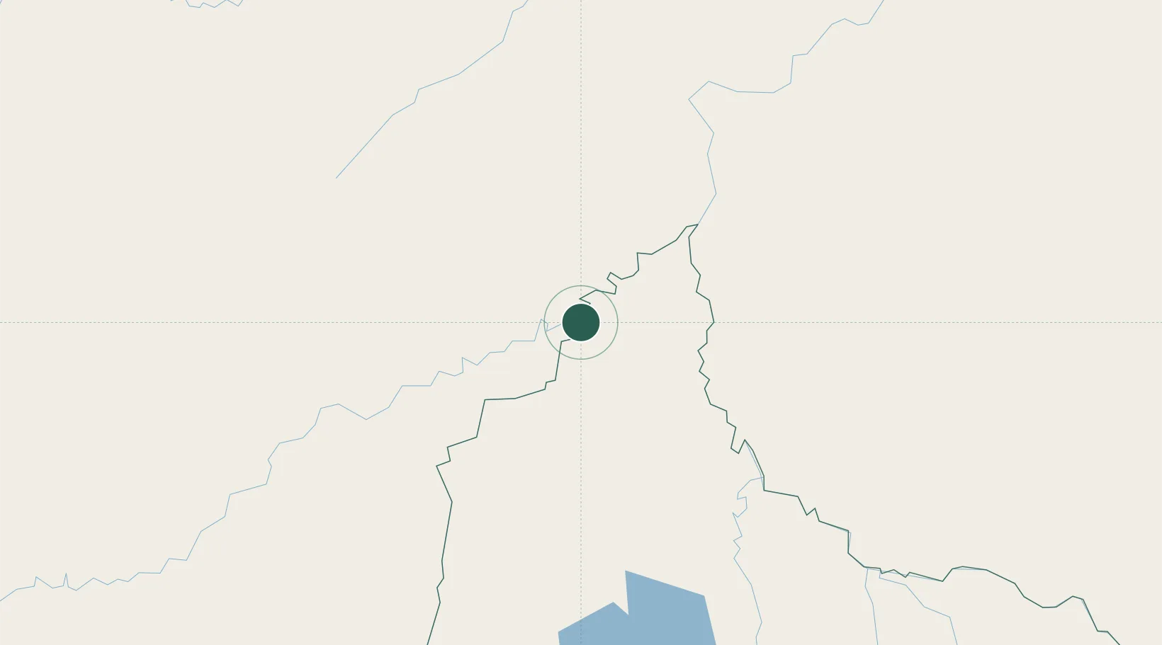
Place type
Populated place
Region
Beni Department
Population
99,070
Time zone
America/La_Paz
Elevation
145 m
Location
Nearby Logistics Neighbours
Cities
- 1Guajará-Mirim89 km
- 2Puerto Rico168 km
- 3Rio Branco218 km
- 4Porto Acre220 km
- 5Epitaciolândia288 km
Ports
- 1Puerto Ilo932 km
- 2Bahia De Matarani932 km
- 3Rada De Arica948 km
- 4Bahia San Nicolas1097 km
- 5Manaus1101 km
Airports
Trade Zones
DatabookThe Record of Consolidated Knowledge
Bolivia beyond logistics?