Channel & Berth Profile
Pilotage, Tugs & Services
Pilotage compulsoryYES
Pilotage availableYES
Tug assistanceYES
Salvage tugsNO
Shore powerYES
Potable waterYES
Diesel bunkersNO
MedicalYES
Garbage disposalYES
Facilities & Capabilities
Container—
Ro-Ro—
Liquid bulk—
Dry bulk—
Oil terminal—
Break bulk—
Dry dock—
RepairsNO
BunkeringNO
Rail linkYES
Dangerous cargo—
ISPS security—
Harbour Specifications
Harbour size
Very Small
Harbour type
Open Roadstead
Shelter
Good
Water body
South Pacific Ocean
Tidal range
1 m
Pilotage
Yes
Liner Connectivity
16.9
PLSCI
Port Liner Shipping Connectivity Index for Puerto Ilo, as published by UNCTAD for the latest available quarter. Higher values indicate stronger scheduled liner-shipping integration.
Shown relative to the highest per-port PLSCI in the dataset (1,657.9).
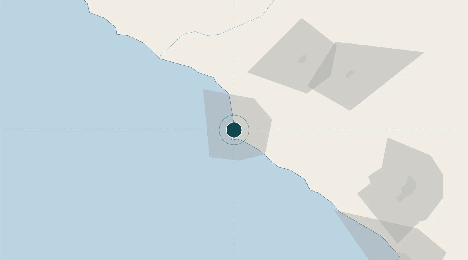
Location
Nearby Logistics Neighbours
Ports
- 1Bahia De Matarani106 km
- 2Rada De Arica143 km
- 3Iquique312 km
- 4Caleta Patillos366 km
- 5Bahia San Nicolas490 km
Cities
- 1Matarani106 km
- 2Arica145 km
- 3General Lagos184 km
- 4Guayubín221 km
- 5Pisagua251 km
Airports
DatabookThe Record of Consolidated Knowledge
Peru beyond logistics?