Small airport · Brazil
Fazenda Mimosa AirportSNM6
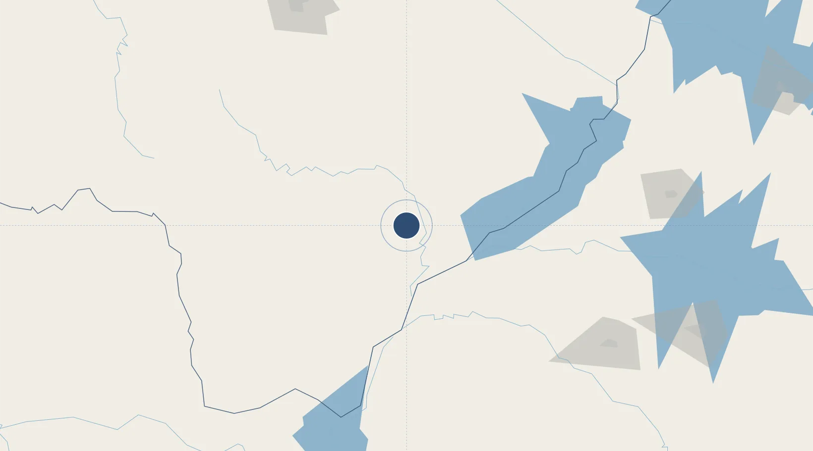
-22.3967°, -53.6808°
3,281 ft
Longest runway
1
Runways
1,306 ft
Elevation
Runway & Layout
Runways · 1
| Runway | Dimensions | Surface | True heading | Lit |
|---|---|---|---|---|
| 16/34 | 3,281 × 59ft | Gravel | — | — |
Airport Specifications
ICAO code
SNM6
Airport class
Small airport
Scheduled service
Yes
Runway surface
Gravel
Served city
Ivinhema
Location
Nearby Logistics Neighbours
Airports
- 1Orlando de Carvalho Airport160 km
- 2Fazenda Dom Felipe Airport176 km
- 3Guaíra Airport194 km
- 4Aeropuerto Nacional de Salto del Guaira195 km
- 5Ponta Porã Airport208 km
Cities
- 1Presidente Epitácio177 km
- 2Mundo Novo181 km
- 3Guaíra196 km
- 4Terra Roxa201 km
- 5Ponta Porã208 km
Ports
- 1Puerto De Asuncion517 km
- 2Paranagua628 km
- 3Sao Francisco667 km
- 4Itajai716 km
- 5Santos774 km
Trade Zones
- 1ZPE de Bataguassú (MS)153 km
- 2Zona Franca Internacional360 km
- 3Zona Franca Global360 km
- 4Zona Franca Puerto Iguazu Free Trade Zone367 km
- 5ZPE de Fernandópolis (SP)423 km
DatabookThe Record of Consolidated Knowledge
Brazil beyond logistics?