Medium airport · Brazil
Regional de Maringá - Sílvio Name Júnior AirportSBMG
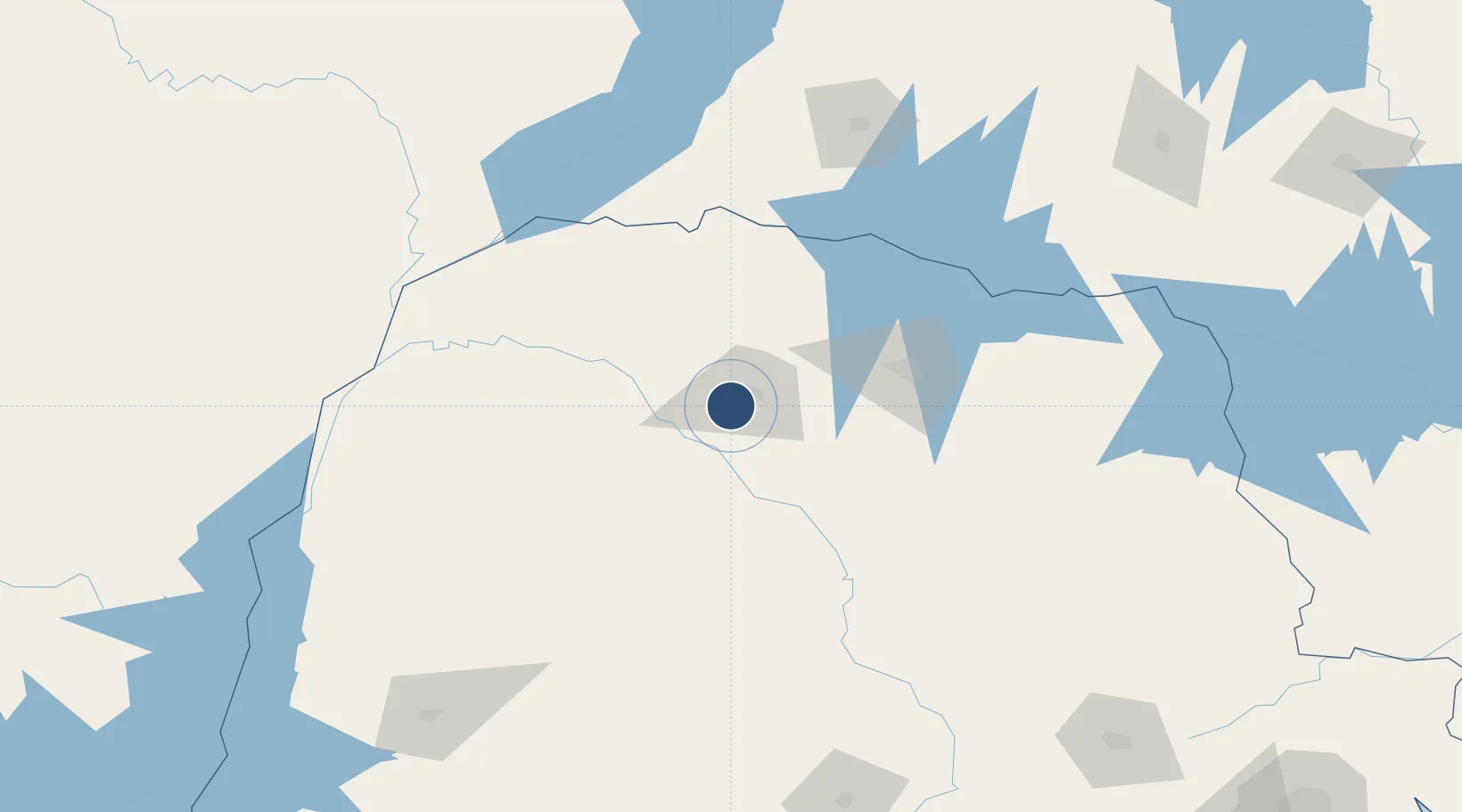
-23.4761°, -52.0162°
7,808 ft
Longest runway
1
Runways
1,801 ft
Elevation
Runway & Layout

Radio Frequencies
TWR
118.75 MHz
Torre Maringá
AFIS
131.95 MHz
RDO
Runways · 1
| Runway | Dimensions | Surface | True heading | Lit |
|---|---|---|---|---|
| 10/28 | 7,808 × 148ft | Asphalt | — | — |
Airport Specifications
IATA code
MGF
ICAO code
SBMG
Airport class
Medium airport
Scheduled service
Yes
Runway surface
Asphalt
Served city
Maringá
Location
Nearby Logistics Neighbours
Airports
- 1Governor José Richa Airport92 km
- 2Orlando de Carvalho Airport137 km
- 3Presidente Prudente Airport157 km
- 4Telêmaco Borba Airport167 km
- 5Fazenda Mimosa Airport209 km
Cities
- 1Maringá11 km
- 2Sarandi16 km
- 3Cambé75 km
- 4Londrina91 km
- 5Ortigueira138 km
Ports
- 1Paranagua420 km
- 2Sao Francisco460 km
- 3Itajai512 km
- 4Santos584 km
- 5Puerto De Asuncion608 km
Trade Zones
- 1ZPE de Bataguassú (MS)203 km
- 2Zona Franca Puerto Iguazu Free Trade Zone350 km
- 3Zona Franca Internacional353 km
- 4Zona Franca Global353 km
- 5ZPE de Fernandópolis (SP)396 km
DatabookThe Record of Consolidated Knowledge
Brazil beyond logistics?