Seaport · Paraguay

Puerto De AsuncionPYASU

-25.2667°, -57.6833°
1.8 m
Channel depth
3
Container terminals
20.4
Port liner connectivity
Puerto De Asuncion is also a UN/LOCODE logistics hub →

Channel & Berth Profile

SEA LEVEL (CD)CHANNEL BEDChannel · 1.8 mCargo pier · 1.8 m
NGA World Port Index

Pilotage, Tugs & Services

Pilotage compulsoryYES
Pilotage availableYES
Tug assistanceYES
Shore powerYES
Potable waterYES
Diesel bunkersYES
MedicalYES
Garbage disposalYES
NGA World Port Index

Facilities & Capabilities

Container
Ro-Ro
Liquid bulk
Dry bulk
Oil terminal
Break bulk
Dry dock
Repairs
BunkeringYES
Rail linkYES
Dangerous cargo
ISPS security
NGA World Port Index

Harbour Specifications

Harbour size
Very Small
NGA World Port Index
Harbour type
River (Natural)
NGA World Port Index
Shelter
Excellent
NGA World Port Index
Water body
Rio de la Plata; South Atlantic Ocean
NGA World Port Index
Pilotage
Yes
NGA World Port Index

Liner Connectivity

20.4
PLSCI

Port Liner Shipping Connectivity Index for Puerto De Asuncion, as published by UNCTAD for the latest available quarter. Higher values indicate stronger scheduled liner-shipping integration.

Shown relative to the highest per-port PLSCI in the dataset (1,657.9).
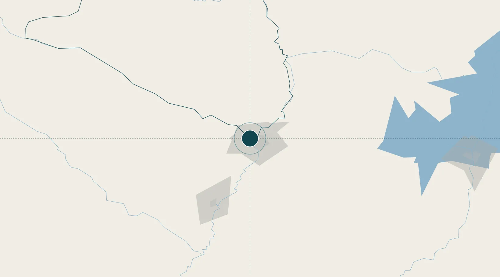
UNCTAD · Port Liner Shipping Connectivity Index

Location

Location of PYASU
Natural Earth 10m (public domain) · Presidente Hayes · PYASU · -25.27, -57.68GoogleOSMYandex

Container Terminals · 3

PUERTO CAACUPE-MI ASUNCION
CCPMI SAN FRANCISCO S.A.
PUERTO FENIX
PFNX PUERTO Y ESTIBAJES S.A.
PUERTO SAN JOSE (EMPEDRIL S.A.)
PSJ CONCRET-MIX S.A.
SMDG Terminal Code List

Nearby Logistics Neighbours

Ports
  1. 1Concordia683 km
  2. 2Santa Fe769 km
  3. 3Parana769 km
  4. 4Colon774 km
  5. 5Paysandu785 km
Nearest neighbours — logibook spatial index (haversine) over the source coordinates
Cities
  1. 1Lambare10 km
  2. 2Terport (San Antonio)14 km
  3. 3Barrio Caacupé Mí15 km
  4. 4Colonia Mariano Roque Alonso17 km
  5. 5Limpio18 km
Nearest neighbours — logibook spatial index (haversine) over the source coordinates
Airports
  1. 1Silvio Pettirossi International Airport17 km
  2. 2Formosa National Airport119 km
  3. 3Aeropuerto Nacional de Coronel Oviedo131 km
  4. 4Aeródromo Don Carlos Miguel Gimenez191 km
  5. 5Lieutenant Colonel Carmelo Peralta National Airport205 km
Nearest neighbours — logibook spatial index (haversine) over the source coordinates
Trade Zones
  1. 1Zona Franca Global300 km
  2. 2Zona Franca Internacional300 km
  3. 3Zona Franca Puerto Iguazu Free Trade Zone315 km
  4. 4Rivera Free Zone665 km
  5. 5ZPE de Bataguassú (MS)669 km
Nearest neighbours — logibook spatial index (haversine) over the source coordinates
DatabookThe Record of Consolidated Knowledge
Paraguay beyond logistics?
Browse databook

All Sources

Portsthe NGA World Port Index
Public domain (US gov)
Logistics performanceUNCTAD
CC BY 3.0 IGO
Portsthe SMDG Terminal Code List
UN/LOCODE — free, attribution
AirportsOurAirports
Public domain
LocationsUN/LOCODE
UN/LOCODE — free
Trade Zonesthe World Bank SEZ database
CC BY 4.0
Trade ZonesOpen Zone Map
CC BY
← Paraguay ports