Transport Functions
Rail
Road
Airport
Hub Profile
Place type
Provincial seat
Region
Paraná
Population
311,724
Time zone
America/Sao_Paulo
Elevation
556 m
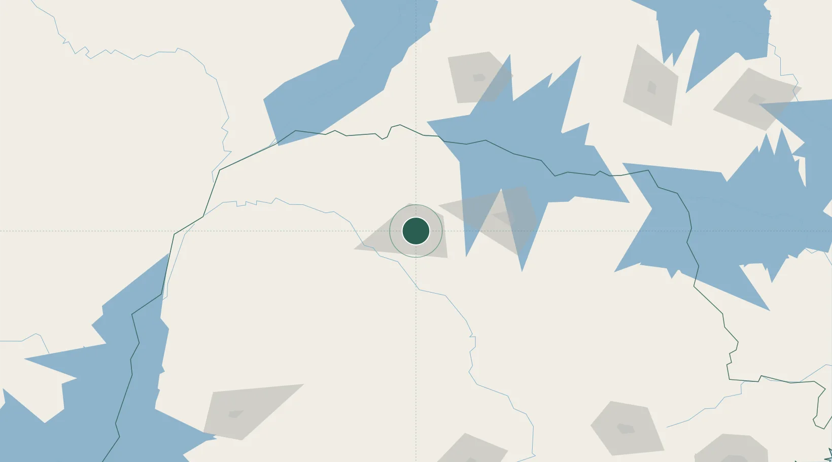
Location
Nearby Logistics Neighbours
Cities
- 1Sarandi7 km
- 2Cambé65 km
- 3Londrina81 km
- 4Ortigueira135 km
- 5Presidente Epitácio184 km
Ports
- 1Paranagua416 km
- 2Sao Francisco458 km
- 3Itajai512 km
- 4Santos577 km
- 5Puerto De Asuncion618 km
Airports
Trade Zones
- 1ZPE de Bataguassú (MS)198 km
- 2Zona Franca Puerto Iguazu Free Trade Zone360 km
- 3Zona Franca Internacional363 km
- 4Zona Franca Global364 km
- 5ZPE de Fernandópolis (SP)386 km
DatabookThe Record of Consolidated Knowledge
Brazil beyond logistics?