Transport Functions
Port
Road
Hub Profile
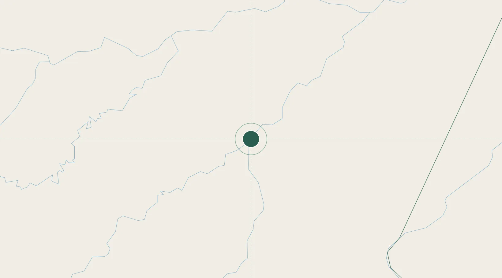
Place type
Populated place
Region
Amazonas
Population
24,987
Time zone
America/Manaus
Elevation
32 m
Location
Nearby Logistics Neighbours
Cities
- 1Borba119 km
- 2Manicoré127 km
- 3Beruri176 km
- 4Manaquiri189 km
- 5Nova Olinda do Norte198 km
Ports
- 1Manaus224 km
- 2Itacoatiara305 km
- 3Santarem695 km
- 4Porto Santana1165 km
- 5Cameta1247 km
Airports
- 1Borba Airport116 km
- 2Manicoré Airport127 km
- 3Ponta Pelada Airport / Manaus Air Base223 km
- 4Eduardo Gomes International Airport234 km
- 5Itacoatiara Airport304 km
Trade Zones
DatabookThe Record of Consolidated Knowledge
Brazil beyond logistics?