Transport Functions
Port
Road
Airport
Hub Profile
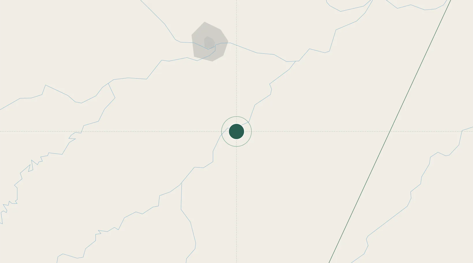
Place type
Populated place
Region
Amazonas
Population
34,879
Time zone
America/Manaus
Elevation
30 m
Location
Nearby Logistics Neighbours
Cities
- 1Nova Olinda do Norte79 km
- 2Autazes104 km
- 3Novo Aripuanã119 km
- 4Careiro da Várzea136 km
- 5Iranduba141 km
Ports
- 1Manaus147 km
- 2Itacoatiara186 km
- 3Santarem583 km
- 4Porto Santana1050 km
- 5Cameta1144 km
Airports
- 1Borba Airport3 km
- 2Ponta Pelada Airport / Manaus Air Base145 km
- 3Eduardo Gomes International Airport158 km
- 4Itacoatiara Airport186 km
- 5Manicoré Airport246 km
Trade Zones
- 1Zona Franca de Manaus - Suframa (Manaus Free Zone)146 km
- 2ZPE de Boa Vista (RR)810 km
- 3Lethem Industrial Estate865 km
- 4Free Port of Santa Elena de Uairén1013 km
- 5ZPE do Acre (AC)1085 km
DatabookThe Record of Consolidated Knowledge
Brazil beyond logistics?