UN/LOCODE hub · Brazil
BRNON

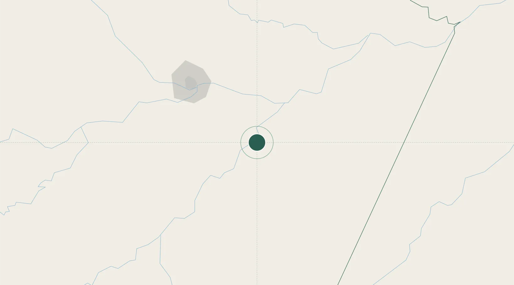
Nova Olinda do Norte

-3.8833°, -59.0833°
28,267
Population
2
Transport functions

Transport Functions

Port
Road
UN/LOCODE

Hub Profile

Place type
Populated place
GeoNames
Region
Amazonas
GeoNames
Population
28,267
GeoNames
Time zone
America/Manaus
GeoNames
Elevation
22 m
GeoNames

Location

Location of BRNON
Natural Earth 10m (public domain) · Amazonas · BRNON · -3.88, -59.08GoogleOSMYandex

Nearby Logistics Neighbours

Cities
  1. 1Autazes36 km
  2. 2Borba79 km
  3. 3Itacoatiara110 km
  4. 4Careiro da Várzea113 km
  5. 5Manaus131 km
Nearest neighbours — logibook spatial index (haversine) over the source coordinates
Ports
  1. 1Itacoatiara108 km
  2. 2Manaus133 km
  3. 3Santarem512 km
  4. 4Porto Santana976 km
  5. 5Cameta1079 km
Nearest neighbours — logibook spatial index (haversine) over the source coordinates
Airports
  1. 1Borba Airport82 km
  2. 2Itacoatiara Airport107 km
  3. 3Ponta Pelada Airport / Manaus Air Base130 km
  4. 4Eduardo Gomes International Airport143 km
  5. 5Jacareacanga Airport299 km
Nearest neighbours — logibook spatial index (haversine) over the source coordinates
Trade Zones
  1. 1Zona Franca de Manaus - Suframa (Manaus Free Zone)130 km
  2. 2ZPE de Boa Vista (RR)766 km
  3. 3Lethem Industrial Estate813 km
  4. 4Free Port of Santa Elena de Uairén970 km
  5. 5ZPE do Acre (AC)1163 km
Nearest neighbours — logibook spatial index (haversine) over the source coordinates
DatabookThe Record of Consolidated Knowledge
Brazil beyond logistics?
Browse databook

All Sources

LocationsUN/LOCODE
UN/LOCODE — free
LocationsGeoNames
CC BY 4.0
Portsthe NGA World Port Index
Public domain (US gov)
AirportsOurAirports
Public domain
Trade Zonesthe World Bank SEZ database
CC BY 4.0
Trade ZonesOpen Zone Map
CC BY
← Brazil locations