Transport Functions
Port
Road
Hub Profile
Place type
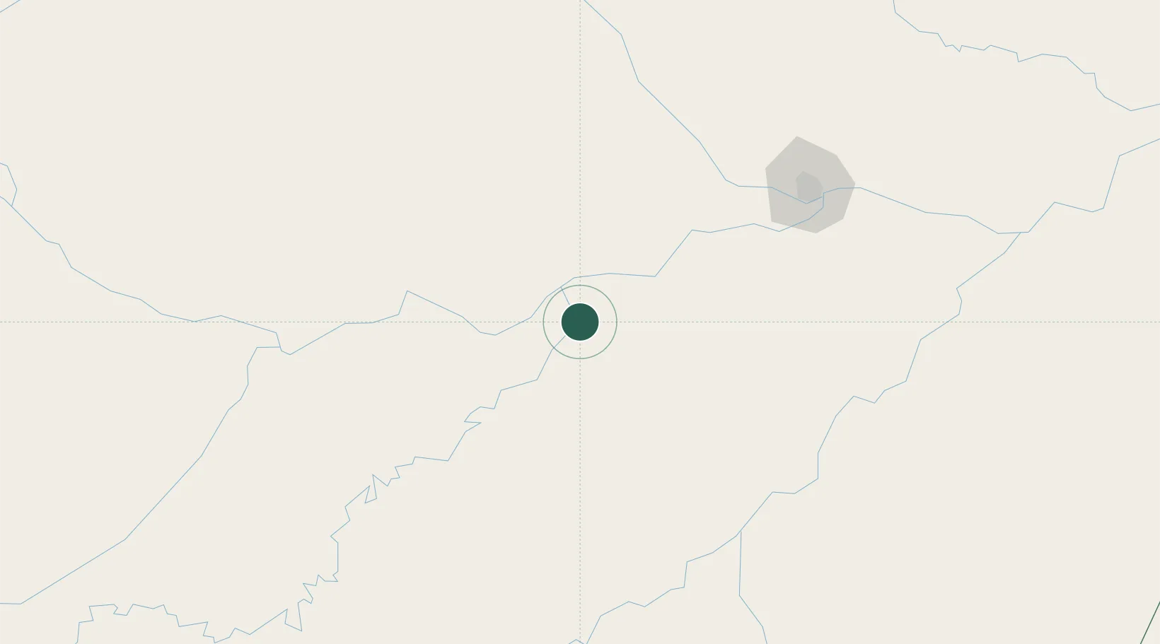
Populated place
Region
Amazonas
Population
22,136
Time zone
America/Manaus
Elevation
27 m
Location
Nearby Logistics Neighbours
Cities
- 1Codajás76 km
- 2Manacapuru107 km
- 3Manaquiri114 km
- 4Iranduba148 km
- 5Novo Airão149 km
Ports
- 1Manaus172 km
- 2Itacoatiara334 km
- 3Santarem756 km
- 4Linden1151 km
- 5Nieuw Nickerie1196 km
Airports
- 1Eduardo Gomes International Airport174 km
- 2Ponta Pelada Airport / Manaus Air Base174 km
- 3Borba Airport204 km
- 4Manicoré Airport215 km
- 5Itacoatiara Airport331 km
Trade Zones
DatabookThe Record of Consolidated Knowledge
Brazil beyond logistics?