Medium airport · Brazil
Jacareacanga AirportSBEK
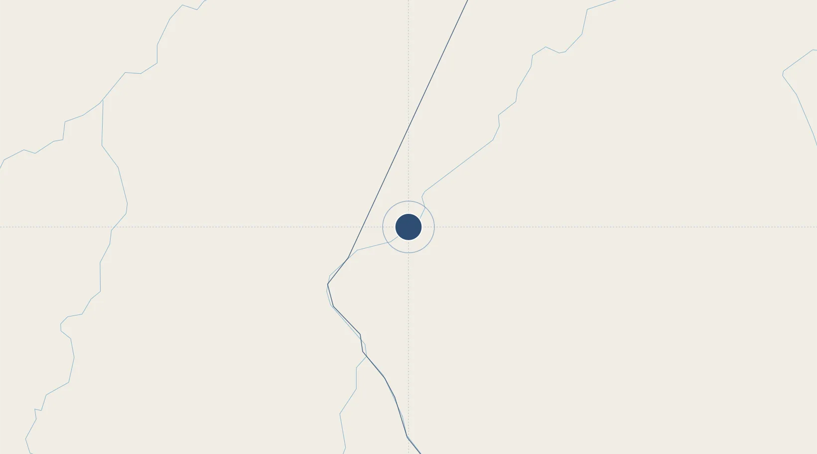
-6.2332°, -57.7769°
5,249 ft
Longest runway
1
Runways
295 ft
Elevation
Runway & Layout

Radio Frequencies
RDO
125.9 MHz
Navaids
JAC VOR-DME Jacareacanga 112.20 MHz
JAC NDB Jacareacanga 360 kHz
Runways · 1
| Runway | Dimensions | Surface | True heading | Lit |
|---|---|---|---|---|
| 8/26 | 5,249 × 98ft | Asphalt | — | — |
Airport Specifications
IATA code
JCR
ICAO code
SBEK
Airport class
Medium airport
Scheduled service
No
Runway surface
Asphalt
Served city
Jacareacanga
Location
Nearby Logistics Neighbours
Airports
- 1Borba Airport287 km
- 2Itaituba Airport296 km
- 3Itacoatiara Airport354 km
- 4Manicoré Airport390 km
- 5Ponta Pelada Airport / Manaus Air Base422 km
Cities
- 1Borba287 km
- 2Itaituba297 km
- 3Nova Olinda do Norte299 km
- 4Novo Aripuanã312 km
- 5Maués317 km
Ports
- 1Itacoatiara351 km
- 2Manaus425 km
- 3Santarem543 km
- 4Porto Santana1004 km
- 5Cameta1019 km
Trade Zones
- 1Zona Franca de Manaus - Suframa (Manaus Free Zone)422 km
- 2ZPE de Boa Vista (RR)1057 km
- 3ZPE de Araguaína (TO)1060 km
- 4Lethem Industrial Estate1093 km
- 5ZPE de Cáceres1095 km
DatabookThe Record of Consolidated Knowledge
Brazil beyond logistics?