Transport Functions
Port
Road
Hub Profile
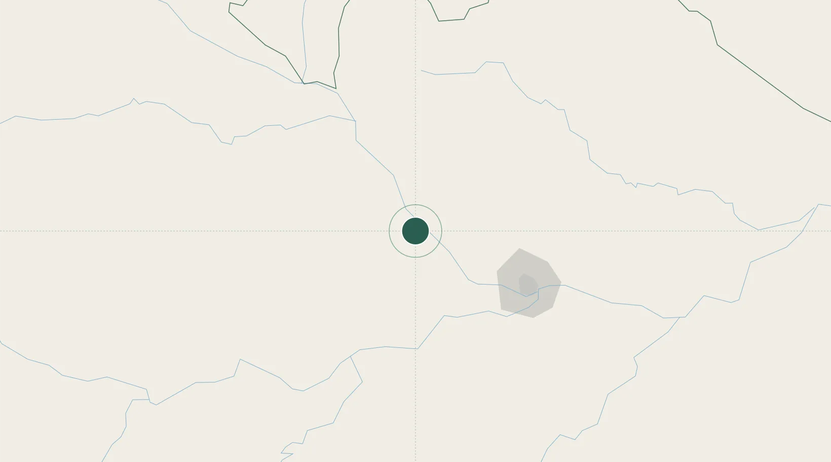
Place type
Populated place
Region
Amazonas
Population
16,467
Time zone
America/Manaus
Elevation
36 m
Location
Nearby Logistics Neighbours
Cities
- 1Manacapuru82 km
- 2Manaquiri104 km
- 3Iranduba110 km
- 4Manaus120 km
- 5Careiro da Várzea139 km
Ports
- 1Manaus117 km
- 2Itacoatiara282 km
- 3Santarem691 km
- 4Linden1002 km
- 5Nieuw Nickerie1048 km
Airports
- 1Eduardo Gomes International Airport109 km
- 2Ponta Pelada Airport / Manaus Air Base121 km
- 3Borba Airport248 km
- 4Itacoatiara Airport278 km
- 5Barcelos Airport286 km
Trade Zones
DatabookThe Record of Consolidated Knowledge
Brazil beyond logistics?