UN/LOCODE hub · Brazil
BRMOC
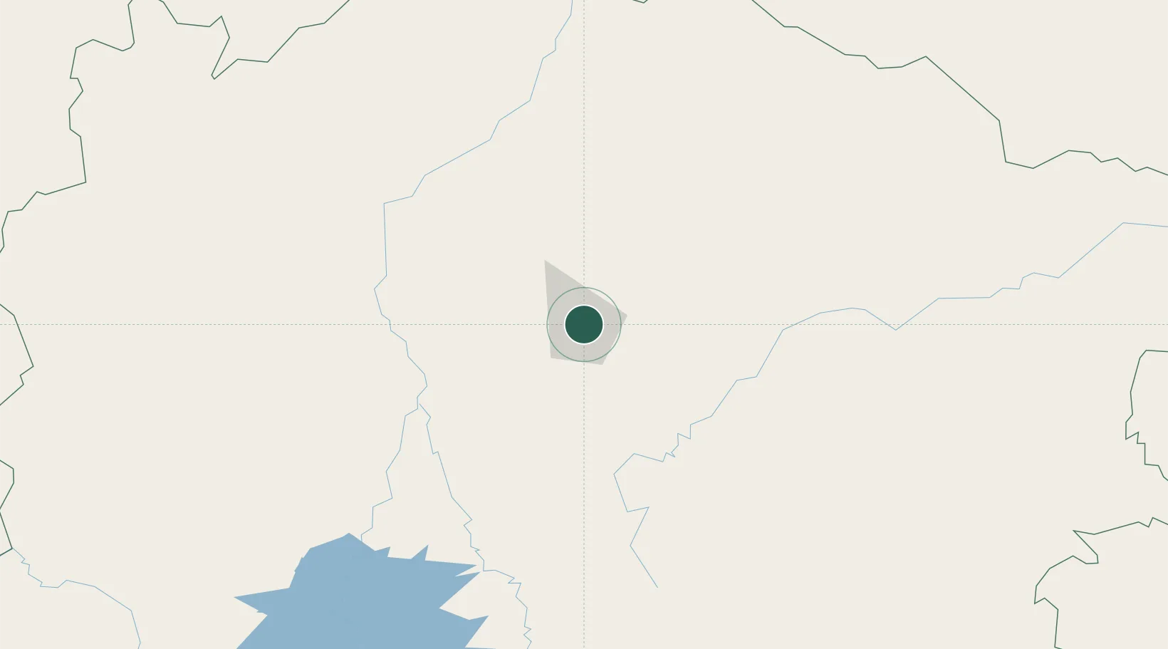
Montes Claros
-16.7167°, -43.8500°
414,240
Population
3
Transport functions
Transport Functions
Rail
Road
Airport
Hub Profile
Place type
Populated place
Region
Minas Gerais
Population
414,240
Time zone
America/Sao_Paulo
Elevation
686 m
Location
Nearby Logistics Neighbours
Cities
- 1Pirapora136 km
- 2Cuenca del Plata235 km
- 3Prudente de Morais309 km
- 4Governador Valadares312 km
- 5Belo Oriente313 km
Ports
- 1Vitoria546 km
- 2Tubarao549 km
- 3Port Of Ilheus560 km
- 4Macae665 km
- 5Niteroi690 km
Airports
- 1Mário Ribeiro Airport4 km
- 2Coronel Altino Machado Airport313 km
- 3Tancredo Neves International Airport325 km
- 4Pedro Rabelo de Souza Airport328 km
- 5Usiminas Airport338 km
Trade Zones
- 1ZPE de Teófilo Otoni (MG)282 km
- 2ZPE de Aracruz (ES)524 km
- 3Zona Franca Ilhéus (BA)541 km
- 4ZPE de Uberaba (MG)548 km
- 5ZPE do Açú (RJ)641 km
DatabookThe Record of Consolidated Knowledge
Brazil beyond logistics?