Large airport · Brazil

Tancredo Neves International AirportSBCF
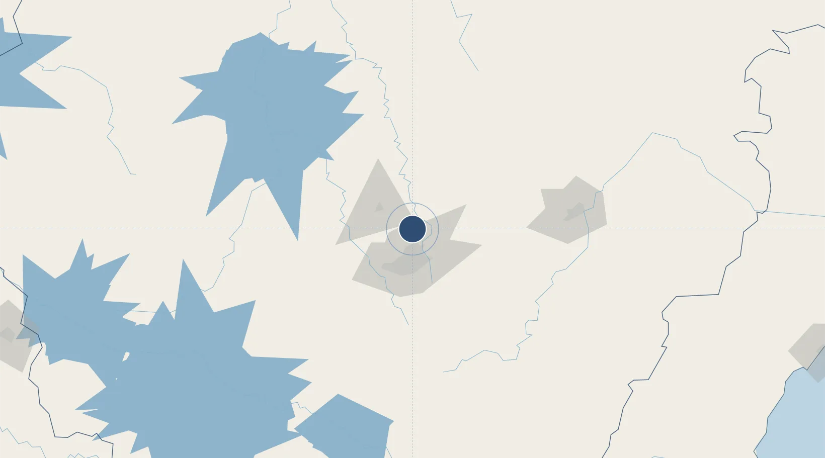
-19.6357°, -43.9669°
11,811 ft
Longest runway
1
Runways
2,721 ft
Elevation

Runway & Layout

Tancredo Neves International Airport runway & taxiway layout
Runway & taxiway layout — OpenStreetMap (ODbL) / OurAirports

Radio Frequencies

ATIS
127.45 MHz
BELO HORIZONTE ATIS
TWR
118.2 MHz
CONFINS TWR
GND
121.9 MHz
CLD
121 MHz
CONFINS CLNC DEL
APP
120.2 MHz
BELO HORIZONTE APP
OPS
122.5 MHz
BELO HORIZONTE OPS
OurAirports

Navaids

CNF VOR-DME Confins 114.40 MHz
OurAirports

Runways · 1

RunwayDimensions SurfaceTrue headingLit
16/34 11,811 × 148ft Asphalt 139°
OurAirports

Airport Specifications

IATA code
CNF
OurAirports
ICAO code
SBCF
OurAirports
Airport class
Large airport
OurAirports
Scheduled service
Yes
OurAirports
Runway surface
Asphalt
OurAirports
Served city
Belo Horizonte
OurAirports

Location

Location of SBCF
Natural Earth 10m (public domain) · Minas Gerais · SBCF · -19.64, -43.97GoogleOSMYandex

Nearby Logistics Neighbours

Airports
  1. 1Pampulha - Carlos Drummond de Andrade Airport24 km
  2. 2Usiminas Airport156 km
  3. 3Major Brigadeiro Doorgal Borges Airport183 km
  4. 4Coronel Altino Machado Airport224 km
  5. 5Presidente Itamar Franco Airport225 km
Nearest neighbours — logibook spatial index (haversine) over the source coordinates
Cities
  1. 1Pedro Leopoldo7 km
  2. 2Vespasiano8 km
  3. 3Matozinhos16 km
  4. 4Santa Luzia19 km
  5. 5Prudente de Morais26 km
Nearest neighbours — logibook spatial index (haversine) over the source coordinates
Ports
  1. 1Niteroi372 km
  2. 2Rio De Janeiro372 km
  3. 3Angra Dos Reis378 km
  4. 4Macae380 km
  5. 5Vitoria387 km
Nearest neighbours — logibook spatial index (haversine) over the source coordinates
Trade Zones
  1. 1ZPE de Teófilo Otoni (MG)327 km
  2. 2ZPE de Itaguaí (RJ)364 km
  3. 3ZPE do Açú (RJ)390 km
  4. 4ZPE de Aracruz (ES)411 km
  5. 5ZPE de Uberaba (MG)421 km
Nearest neighbours — logibook spatial index (haversine) over the source coordinates
DatabookThe Record of Consolidated Knowledge
Brazil beyond logistics?
Browse databook

All Sources

AirportsOurAirports
Public domain
Portsthe NGA World Port Index
Public domain (US gov)
LocationsUN/LOCODE
UN/LOCODE — free
Trade Zonesthe World Bank SEZ database
CC BY 4.0
Trade ZonesOpen Zone Map
CC BY
InfrastructureOpenStreetMap
ODbL 1.0
← Brazil airports