Free Trade Zone · Brazil
Zona Franca Ilhéus (BA) Under Development
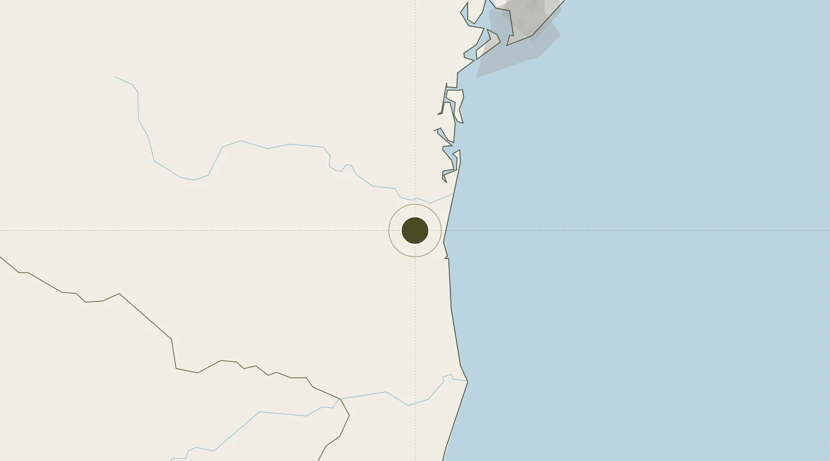
-14.5778°, -39.3069°
225 ha
Zone area
38.7 km
Nearest port
39.6 km
Nearest airport
Gateway access
Zone profile
Zone type
Free Trade Zone
Region
Bahia
Status
Under Development
Management
Public
Operator
ZPE Bahia, SA
Legal framework
LEI Nº 11.508, de 20 de Julho de 2007; Law 11.508 / 2007, with the changes introduced by Laws 11.732 / 2008 and 12.767 / 2012
Location
Nearby Logistics Neighbours
Ports
- 1Port Of Ilheus39 km
- 2Port De Salvador198 km
- 3Madre De Deus217 km
- 4Aratu218 km
- 5Port De Aracaju475 km
Airports
- 1Bahia - Jorge Amado Airport40 km
- 2Barra Grande Airport85 km
- 3Una-Comandatuba Airport93 km
- 4Morro de São Paulo Airport135 km
- 5Valença Airport147 km
Cities
- 1Ilhéus37 km
- 2Salvador103 km
- 3Belmonte149 km
- 4Maragogipe206 km
- 5Simões Filho216 km
Trade Zones
- 1ZPE de Teófilo Otoni (MG)433 km
- 2ZPE de Barra dos Coqueiros (SE)478 km
- 3ZPE de Aracruz (ES)580 km
- 4ZPE do Açú (RJ)828 km
- 5ZPE de Suape (PE)834 km
DatabookThe Record of Consolidated Knowledge
Brazil beyond logistics?