Transport Functions
Port
Rail
Road
Airport
Hub Profile
Place type
Populated place
Region
Minas Gerais
Population
55,606
Time zone
America/Sao_Paulo
Elevation
502 m
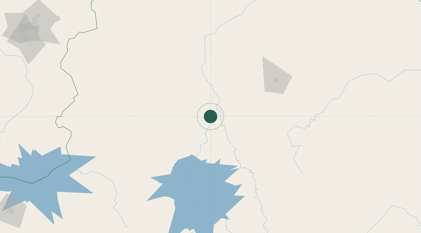
Location
Nearby Logistics Neighbours
Cities
- 1Montes Claros136 km
- 2Prudente de Morais254 km
- 3Matozinhos263 km
- 4Pedro Leopoldo272 km
- 5Patrocínio279 km
Ports
- 1Vitoria588 km
- 2Tubarao594 km
- 3Angra Dos Reis635 km
- 4Niteroi646 km
- 5Rio De Janeiro646 km
Airports
Trade Zones
- 1ZPE de Teófilo Otoni (MG)372 km
- 2ZPE de Uberaba (MG)414 km
- 3ZPE de Aracruz (ES)583 km
- 4ZPE de Itaguaí (RJ)632 km
- 5ZPE do Açú (RJ)647 km
DatabookThe Record of Consolidated Knowledge
Brazil beyond logistics?