Medium airport · Brazil

Coronel Altino Machado AirportSBGV
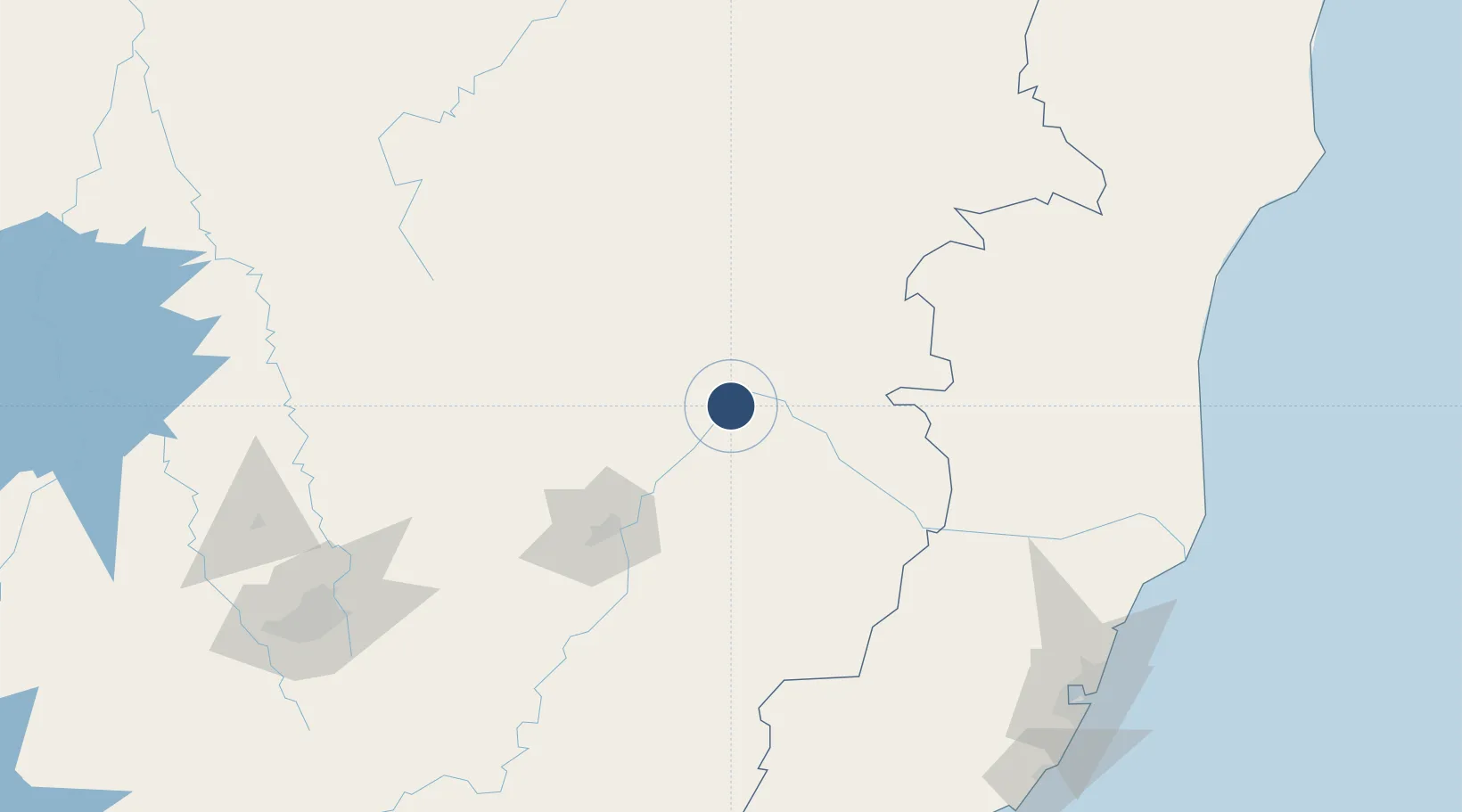
-18.8959°, -41.9829°
5,581 ft
Longest runway
1
Runways
561 ft
Elevation

Runway & Layout

Coronel Altino Machado Airport runway & taxiway layout
Runway & taxiway layout — OpenStreetMap (ODbL) / OurAirports

Radio Frequencies

AFIS
132.05 MHz
VALADARES RDO
OurAirports

Navaids

VAL NDB Valadares 380 kHz
OurAirports

Runways · 1

RunwayDimensions SurfaceTrue headingLit
07/25 5,581 × 98ft ASPH 045°
OurAirports

Airport Specifications

IATA code
GVR
OurAirports
ICAO code
SBGV
OurAirports
Airport class
Medium airport
OurAirports
Scheduled service
Yes
OurAirports
Runway surface
ASPH
OurAirports
Served city
Governador Valadares
OurAirports

Location

Location of SBGV
Natural Earth 10m (public domain) · Minas Gerais · SBGV · -18.90, -41.98GoogleOSMYandex

Nearby Logistics Neighbours

Airports
  1. 1Usiminas Airport83 km
  2. 2Linhares Municipal Airport207 km
  3. 3Tancredo Neves International Airport224 km
  4. 4Pampulha - Carlos Drummond de Andrade Airport232 km
  5. 5Eurico de Aguiar Salles International Airport234 km
Nearest neighbours — logibook spatial index (haversine) over the source coordinates
Cities
  1. 1Governador Valadares7 km
  2. 2Belo Oriente64 km
  3. 3Ipatinga85 km
  4. 4Timóteo103 km
  5. 5Nova Era146 km
Nearest neighbours — logibook spatial index (haversine) over the source coordinates
Ports
  1. 1Vitoria234 km
  2. 2Tubarao238 km
  3. 3Macae387 km
  4. 4Porto Do Forno453 km
  5. 5Niteroi459 km
Nearest neighbours — logibook spatial index (haversine) over the source coordinates
Trade Zones
  1. 1ZPE de Teófilo Otoni (MG)126 km
  2. 2ZPE de Aracruz (ES)224 km
  3. 3ZPE do Açú (RJ)341 km
  4. 4ZPE de Itaguaí (RJ)483 km
  5. 5Zona Franca Ilhéus (BA)558 km
Nearest neighbours — logibook spatial index (haversine) over the source coordinates
DatabookThe Record of Consolidated Knowledge
Brazil beyond logistics?
Browse databook

All Sources

AirportsOurAirports
Public domain
Portsthe NGA World Port Index
Public domain (US gov)
LocationsUN/LOCODE
UN/LOCODE — free
Trade Zonesthe World Bank SEZ database
CC BY 4.0
Trade ZonesOpen Zone Map
CC BY
InfrastructureOpenStreetMap
ODbL 1.0
← Brazil airports