UN/LOCODE hub · Brazil
BRGVR

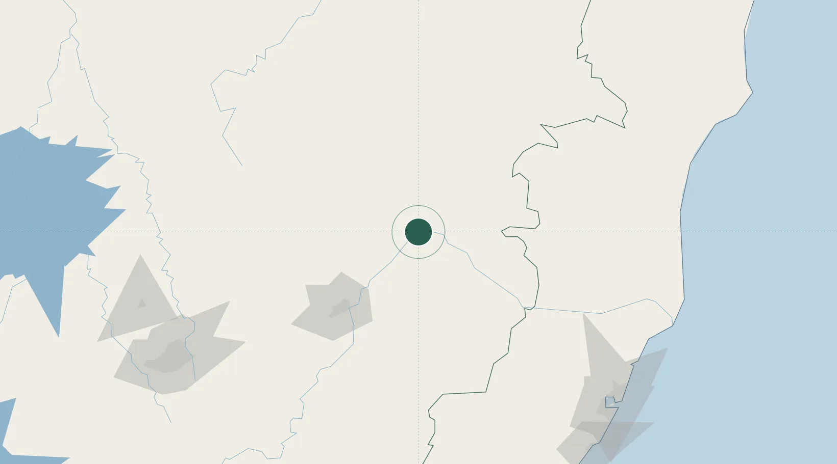
Governador Valadares

-18.8500°, -41.9333°
250,878
Population
4
Transport functions

Transport Functions

Rail
Road
Airport
Multimodal
UN/LOCODE

Hub Profile

Place type
Populated place
GeoNames
Region
Minas Gerais
GeoNames
Population
250,878
GeoNames
Time zone
America/Sao_Paulo
GeoNames
Elevation
169 m
GeoNames

Location

Location of BRGVR
Natural Earth 10m (public domain) · Minas Gerais · BRGVR · -18.85, -41.93GoogleOSMYandex

Nearby Logistics Neighbours

Cities
  1. 1Belo Oriente71 km
  2. 2Ipatinga92 km
  3. 3Timóteo110 km
  4. 4Nova Era153 km
  5. 5Colatina158 km
Nearest neighbours — logibook spatial index (haversine) over the source coordinates
Ports
  1. 1Vitoria234 km
  2. 2Tubarao238 km
  3. 3Macae391 km
  4. 4Porto Do Forno458 km
  5. 5Niteroi465 km
Nearest neighbours — logibook spatial index (haversine) over the source coordinates
Airports
  1. 1Coronel Altino Machado Airport7 km
  2. 2Usiminas Airport90 km
  3. 3Linhares Municipal Airport204 km
  4. 4Tancredo Neves International Airport231 km
  5. 5Eurico de Aguiar Salles International Airport233 km
Nearest neighbours — logibook spatial index (haversine) over the source coordinates
Trade Zones
  1. 1ZPE de Teófilo Otoni (MG)119 km
  2. 2ZPE de Aracruz (ES)222 km
  3. 3ZPE do Açú (RJ)345 km
  4. 4ZPE de Itaguaí (RJ)490 km
  5. 5Zona Franca Ilhéus (BA)551 km
Nearest neighbours — logibook spatial index (haversine) over the source coordinates
DatabookThe Record of Consolidated Knowledge
Brazil beyond logistics?
Browse databook

All Sources

LocationsUN/LOCODE
UN/LOCODE — free
LocationsGeoNames
CC BY 4.0
Portsthe NGA World Port Index
Public domain (US gov)
AirportsOurAirports
Public domain
Trade Zonesthe World Bank SEZ database
CC BY 4.0
Trade ZonesOpen Zone Map
CC BY
← Brazil locations